Skip to content
Search
Menu

We earn a commission if you book through this link. You pay the same price.

Plan your trip

Getting Around Fort Walton Beach

Last updated

How to get around Fort Walton Beach: US 98 and the bridges, free beach parking, the VPS airport on Eglin, public transit, bikes and boat ramps.

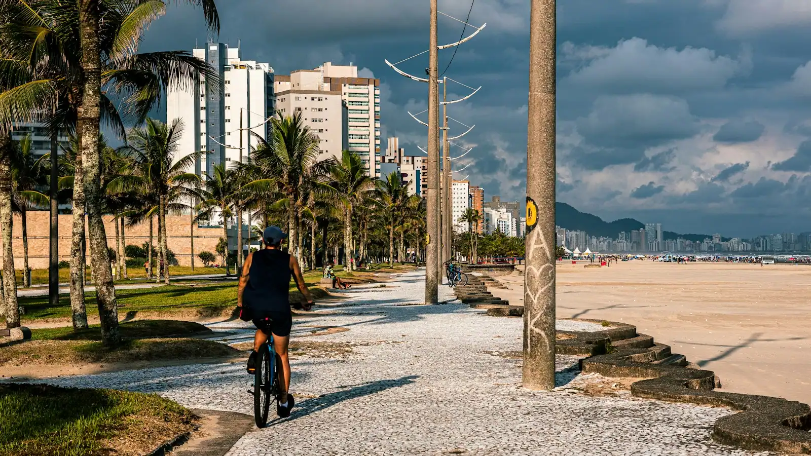
A cyclist riding a paved shoreline path lined with palm trees under heavy cloud

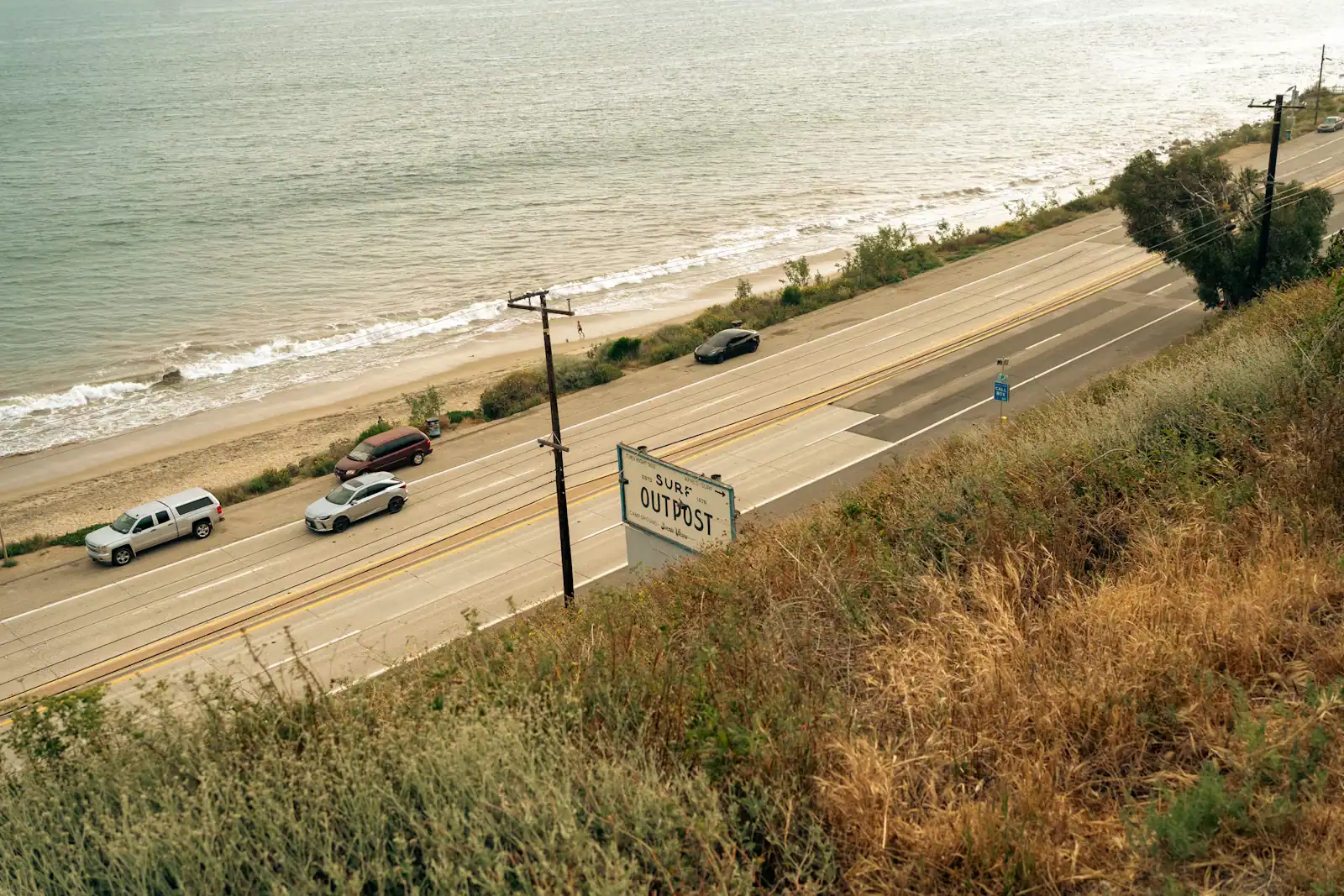
Almost everything awkward about driving here traces back to one thing: Eglin Air Force Base. The reservation covers 463,128 acres directly behind the coast, and it is closed. That leaves a thin ribbon of developable land along the water and essentially one road running through it, US 98, which carries local traffic, tourist traffic, commercial traffic and every beach visitor in Okaloosa County along the same four lanes. When people complain about traffic on the Emerald Coast, this is the reason. There is nowhere else for it to go.

The geography adds two pinch points. Getting from mainland Fort Walton Beach to its own beach means crossing the Brooks Bridge to Okaloosa Island. Getting from Okaloosa Island to Destin means crossing the Marler Bridge over East Pass. Both are on US 98, both narrow the flow, and in June and July both turn an eight-mile journey into something that can take the better part of an hour between late morning and early evening. The same drive at eight in the morning takes fifteen minutes. On this coast the question is never how far, it is what time.

Going north is the other puzzle. With the reservation in the way, the practical routes inland are State Road 85 up through the Eglin gate area past the Armament Museum toward Crestview, or the tolled Mid-Bay Bridge, a 3.6-mile crossing of Choctawhatchee Bay from Destin to Niceville that opened in June 1993 specifically to give the area a second route. Its northern connector, the Spence Parkway, is tolled separately, so a single trip can collect two charges. Carry a transponder or expect an invoice in the post.

The good news is parking, which on this coast is unusually generous. The county's main Gulf accesses on Okaloosa Island — John Beasley Park and The Boardwalk — both have large free car parks with restrooms and showers. Free beachfront parking is rare between here and Tampa, and it is a genuine reason to stay on this side.

You will want a car. Okaloosa County runs public transit through EC Rider, but its network is built for residents rather than visitors, and rideshare coverage thins noticeably away from the main strip and late at night. What follows covers the roads, the bridges, the airports, the parking, and the option most guides forget on a coast like this one, which is using a boat as transport rather than as an attraction.
Our picks

The ones we would book

  • Editor's Pick

    The only way to reach the thing you came for

    Why we chose it

    Crab Island has no shoreline and no bridge, so the boat is the road. A captained trip removes the rental deposit, the safety card and the docking manoeuvre, and it means nobody in the party has to stay sober enough to drive a vessel home through a busy pass.

    Destin Dolphin Cruise
    Short term availability

    Destin Dolphin Cruise (opens in a new tab)

    Editor's PickFree cancellationInstant confirmation
    592 reviews

    Our product is unique because of how easy it is to walk around and see over the side of the boat. Our boat is stable open air with a…

    1–2 hours

    Prices checked

    from $27
  • Best Value

    Skip the bridge queue entirely

    Why we chose it

    Boat trips that collect from the Fort Walton Beach or Okaloosa Island side save you the summer crawl over the Marler Bridge and the cost of parking in Destin. The run time to the sandbar differs by a few minutes; the drive can differ by forty. Always ask where a trip departs before booking.

    Destin Dolphin Watching and Sunset Cruise
    Likely to Sell Out

    Destin Dolphin Watching and Sunset Cruise (opens in a new tab)

    Best ValueFree cancellationLikely to sell out
    163 reviews

    Cruise the stunning waters of Destin and witness playful wild dolphins in their natural habitat. This 1.5-hour dolphin cruise offers a…

    1–2 hours

    Prices checked

    from $27
  • Best for Families

    One booking that replaces a day of driving

    Why we chose it

    A half-day trip covering the pass, the jetties and the sandbar removes three separate car journeys and the parking that goes with them. For families staying on the island it is often the only day of the week that needs no vehicle at all. Confirm whether pickup from accommodation is offered.

    Dolphin Cruise in Destin FL
    Low Last Minute Supplier Cancellation Rate

    Dolphin Cruise in Destin FL (opens in a new tab)

    Best for FamiliesFree cancellationInstant confirmation
    791 reviews

    Experience the thrill of dolphin-watching with Hydrojet on an excursion that navigates Crab Island, showcases a scenic cruise of Destin…

    1 hour

    Prices checked

    from $37
  • Small Group

    The water route nobody queues for

    Why we chose it

    A guided paddle on Santa Rosa Sound launches from the bay side of Okaloosa Island and reaches quiet shoreline no road serves. It is the cheapest transport on this coast and the only version where the journey is better than the destination. Go at first light before the breeze fills in.

Do you need a car here?

For most visitors, yes. The destination is spread along a coastal strip with its beach on one island, its museums on the mainland, its biggest attraction in a bay and its neighbour across a pass. Nothing is far, and almost nothing is walkable between those pieces.

The exception is a beachfront stay. If you are in a condominium on Okaloosa Island with no intention of leaving the sand, you can walk to a beach access, walk to The Boardwalk for food, and take a shuttle or a rideshare for a boat trip. Some people do exactly this for a week and enjoy it.

Public transport exists and is built for residents. EC Rider, Okaloosa County's transit agency, is based on Transit Way in Fort Walton Beach and runs around ten routes serving Fort Walton Beach, Destin and Crestview, with a seasonal beach-area service. It is inexpensive and it is not frequent. Check the current timetable before relying on it for a departure time; missing a boat because a bus came every ninety minutes is an avoidable kind of misery.

Rideshare works on the strip and thins off it. Availability along US 98 in season is reasonable. Late at night, on the mainland, or out toward Niceville it gets patchy, and surge pricing on summer evenings around the Destin harbour is significant.

Taxis and hotel shuttles fill some gaps, and several boat operators will collect from accommodation on either side of the pass, which is worth asking about before you assume you need to drive to the dock and pay to park.

Parking, and where it is actually free

What it costs

This is the practical advantage of staying on this side of East Pass, and it is a real one.

Free, on the Gulf. John Beasley Park has a large free car park with covered pavilions, restrooms and outdoor showers. The Boardwalk, formally Newman C. Brackin Wayside Park, has another free lot beside the pier with shops and food. Both fill by mid-morning on a July day, so arrive before ten or come after three.

Free, on the sound. Liza Jackson Park, Fort Walton Landing, Ferry Park and Veterans Park on the mainland all park free. Liza Jackson also has a two-lane boat ramp.

Paid, on the bay side of the island. The National Park Service's Okaloosa Day Use Area charges a Gulf Islands National Seashore entrance fee per vehicle, open eight until sunset with no overnight parking. The pass is good for a week and covers the seashore's other units, so if you are also visiting Navarre or Pensacola Beach it is worth buying once.

Paid, across the pass. Destin's beach parking is a different proposition: paid lots, limited spaces and residential streets where parking is prohibited and enforced. Henderson Beach State Park charges a state park fee per vehicle. Budget for it or go early.

Trailers. If you are towing a boat, ramp parking fills fast on summer weekends and at the October fishing peak. The Liza Jackson ramp and the county ramps are the practical options.

Bikes, walking and the shared-use paths

Cycling here is better than the traffic suggests, provided you pick the right stretch.

Okaloosa Island is flat, short and largely straight, with paths beside the main road for much of it. Riding between The Boardwalk, Beasley Park and the condominium blocks is easy and quicker than driving and re-parking in July. Rentals, including beach cruisers with baskets, are widely available on the island.

The mainland is more mixed. Downtown Fort Walton Beach and the sound-side parks connect reasonably, but US 98 on the mainland is a four-lane road with commercial frontage and is not pleasant on a bike.

The Brooks Bridge replacement is adding sidewalks, bike lanes and twelve-foot shared-use paths as part of the project, which will materially change how the mainland connects to its own beach. Until it is finished, check locally before planning to ride across.

Walking works within each cluster and not between them. The beach itself is the best walking surface here: twelve miles of firm quartz sand along Okaloosa Island, easier underfoot at low tide, with a walk from The Boardwalk to Beasley Park that takes half an hour and costs nothing.

One caution. Sand this pale reflects hard, and a long midday walk on the beach is a serious sun exposure even when the breeze makes it feel mild. Early morning and the last two hours of light are the right times, and they are also when the beach is at its emptiest.

Using a boat as transport, not as an outing

On a coast built around a bay, a sound and a pass, the water is a road. Visitors rarely think of it that way, and they should.

Crab Island has no land access at all, so a vessel is not an upgrade, it is the only door. Rental, shuttle or charter.

Launching your own. Liza Jackson Park on the mainland has a two-lane concrete ramp on Santa Rosa Sound, open around the clock, with over a hundred parking spaces, a fishing pier and a playground beside it. The Gulf Islands National Seashore day-use area on the bay side of Okaloosa Island has a small-craft launch for kayaks, paddleboards and light craft, within the seashore entrance fee.

The paperwork. Florida's rule is a date of birth test: born in 1988 or later, and the state's boating safety education identification card is required before you take out anything above ten horsepower. The course can be completed online before you travel and rental desks check for it alongside photo identification. Sort it out weeks ahead; the counter on the morning of your trip is the wrong place to discover this.

Reading the water. Choctawhatchee Bay and the sound are shallow, the bars move, and the current through East Pass is strong and reverses with the tide. Rental briefings on this coast are thorough for good reason. Listen to them, note the no-wake and manatee zones, and treat the pass as a working navigation channel rather than a route you improvise through.

Paddling is the cheap version of all of the above, and Santa Rosa Sound at first light is the best hour on the water here.

When to drive, and when not to

When to go

Distance here is measured in hours of the day. A few rules that locals follow without thinking.

Beach o'clock is nine to eleven. Everyone staying inland heads for Okaloosa Island in that window, and the Brooks Bridge and the island's beach lots absorb it badly. Arrive before nine or after three.

Crossing to Destin has two good windows. Before about nine in the morning and after about seven in the evening. Between those, US 98 over the Marler Bridge is the slowest road in the county, and it is worse on a Saturday.

Saturday is changeover day. Weekly rentals on this coast turn over on Saturdays, so the roads carry departing traffic in the morning and arriving traffic in the afternoon on top of everything else. If you can arrive or leave midweek, do.

Thunderstorms change the roads too. A summer afternoon storm clears the beach and puts everyone in a car at the same moment. Give it half an hour rather than joining it.

Allow extra for the bridge works. The Brooks Bridge replacement is a multi-year project and the approaches, junctions and lane patterns on both sides have changed repeatedly as it progresses. Whatever your mapping app remembers, look at the signage.

Fuel is cheaper off the strip. Stations on the mainland a few blocks back from US 98 are consistently cheaper than the ones on Okaloosa Island and around the Destin harbour.

Book it

Everything else we track

Some links below go to Viator, our booking partner. We earn a commission on bookings made through them — at no extra cost to you, and with no influence on what we recommend.

Sharing, or having it to yourselves

Most of what is bookable here sells two ways, and the cheaper one is not always the cheaper one. A shared departure is priced per person; a private booking is priced for the party, so the arithmetic flips somewhere around four to six people — and it is the only version where you pick the time. Check the party size each listing actually covers before you decide.

  • Book a seat

    A shared departure, priced per person. The cheapest way to do this for one or two people.

  • Book the whole thing

    Priced for the party rather than the seat, and you choose the departure time.

    Take in a view only found on the Emerald Coast!
    Low Last Minute Supplier Cancellation Rate

    Crab Island Pontoon Boat Rentals (opens in a new tab)

    Free cancellationPrivate tour
    322 reviews

    Want the easiest way to get to Crab Island without dealing with traffic, crowds, or complicated rentals? Your Crab Island adventure starts…

    2 hours

    Prices checked

    from $199

One road, three crossings

How they compare

Learn these four pieces of tarmac and you know the local map.

RouteWhat it doesWatch out for
US 98 (Miracle Strip Parkway / Santa Rosa Boulevard)The coastal spine through the mainland, Okaloosa Island and on to DestinThe only through road. Congests from late morning to early evening in summer
Brooks BridgeCarries US 98 from mainland Fort Walton Beach to Okaloosa IslandOpened 1966 with four lanes and is being replaced with two wider, higher spans. Approaches and junctions change as work proceeds
Marler Bridge (Destin Bridge)Carries US 98 over East Pass into DestinThe single worst pinch point on the coast in season, with Crab Island boat traffic beneath it
Mid-Bay Bridge (SR 293)3.6 tolled miles from Destin across Choctawhatchee Bay to Niceville, open since June 1993Tolled, and the Spence Parkway connector north of it is tolled separately

State Road 85 is the main route inland from Fort Walton Beach, running north past the Air Force Armament Museum and the Eglin gates toward Crestview and Interstate 10. It is the road you will use for the airport and for anything north.

Nothing crosses the Eglin reservation. If a mapping app offers a shortcut through it, do not take it.

Flying in: three airports, one of them a military base

How they compare

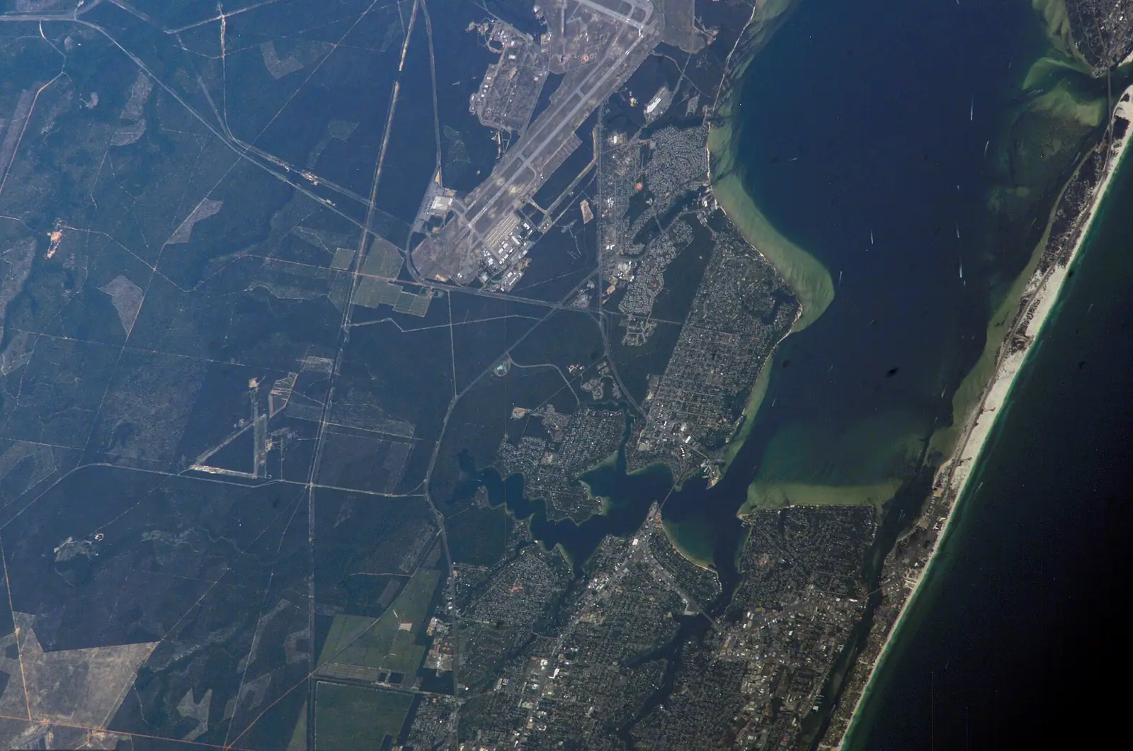
Destin–Fort Walton Beach Airport (VPS) is the closest and the strangest. It sits on Eglin Air Force Base property near Valparaiso and shares the airfield with the Air Force, so your aircraft lands on a military runway and taxis to a civilian terminal that opened in November 2004. It is around half an hour from Okaloosa Island depending on traffic, mostly along State Road 85. Fares are often higher than the alternatives because it is small, but the drive is short and the terminal is painless.

Pensacola International (PNS) lies west along the coast and is usually around an hour and a quarter by road, more in summer traffic. It carries more airlines and often lower fares, and the drive is straightforward along US 98 or Interstate 10.

Northwest Florida Beaches International (ECP) near Panama City Beach sits east and is a similar distance, again roughly an hour or more. Worth checking when fares at VPS look punishing.

Driving in is how a large share of visitors arrive, because this coast is within a day of Atlanta, Birmingham, Nashville and New Orleans. From Interstate 10 the usual approach is State Road 85 south through Crestview, which puts you into Fort Walton Beach from the north.

Rental cars are available at all three airports. Book early for summer and for the spring break weeks, when the on-airport fleets at VPS in particular run out.

On the ground

Where to go

Every place below has its own page — hours, parking, what it costs and what to expect when you get there.

  • Aerial view of small boats anchored together on shallow clear water beside a pale sandbar
    Water feature

    Crab Island

    Free

    A submerged sandbar north of the Destin bridge where the bay runs waist-deep and several hundred boats raft up. Reachable only by water.

    3–8 hoursThe sandbar itself is free public water. The cost is the boat: shuttle seats at the low end, pontoon rentals in the mid hundreds for a half or full day, private charters higher.

    Photograph: Nicolas Henderson

  • An aerial view of a long low bridge crossing shallow green water with a pale sandbar visible beneath the surface
    Water feature

    Choctawhatchee Bay

    Free

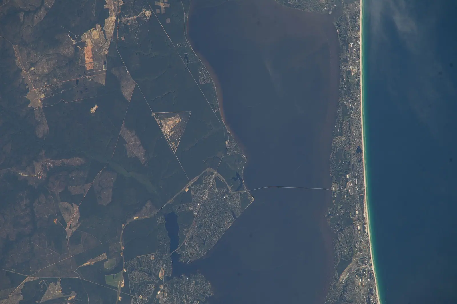
    Twenty-seven miles of near-tideless brackish water with one narrow way out to the Gulf, which is why everything on this coast floats on it.

    2–8 hoursFree to be on. The Mid-Bay Bridge is tolled, and boat rental, fuel and launch ramps are separate costs.

    Photograph: Earth Science and Remote Sensing Unit, NASA Johnson Space Center

  • Late light and low cloud over moving water near a narrow channel
    Water feature

    East Pass

    Free

    The only channel between Choctawhatchee Bay and the Gulf, started by four men with shovels in a 1929 flood and never closed since.

    0.5–2 hoursFree. Viewing from the Marler Bridge walkway, Norriego Point and the east jetty costs nothing.

    Photograph: Jacob Weston

  • Sea oats growing on a low dune above a wide pale beach under a broad sky
    Neighbourhood

    Okaloosa Island

    Free

    The county-owned beach strip across the sound from town: three miles of Gulf front, free parking, and no city government at all.

    3–10 hoursFree, with free parking at the county beach accesses and the Boardwalk.

    Photograph: SrA Carlin Leslie

  • Low waves breaking along a wide, flat stretch of beach in late evening light
    Beach

    John C. Beasley Park

    Free

    The county's fullest free beach access — pavilions, showers, seasonal lifeguards — and the beach Black residents were once confined to.

    2–6 hoursFree, including around 200 free parking spaces.

    Photograph: Unsplash

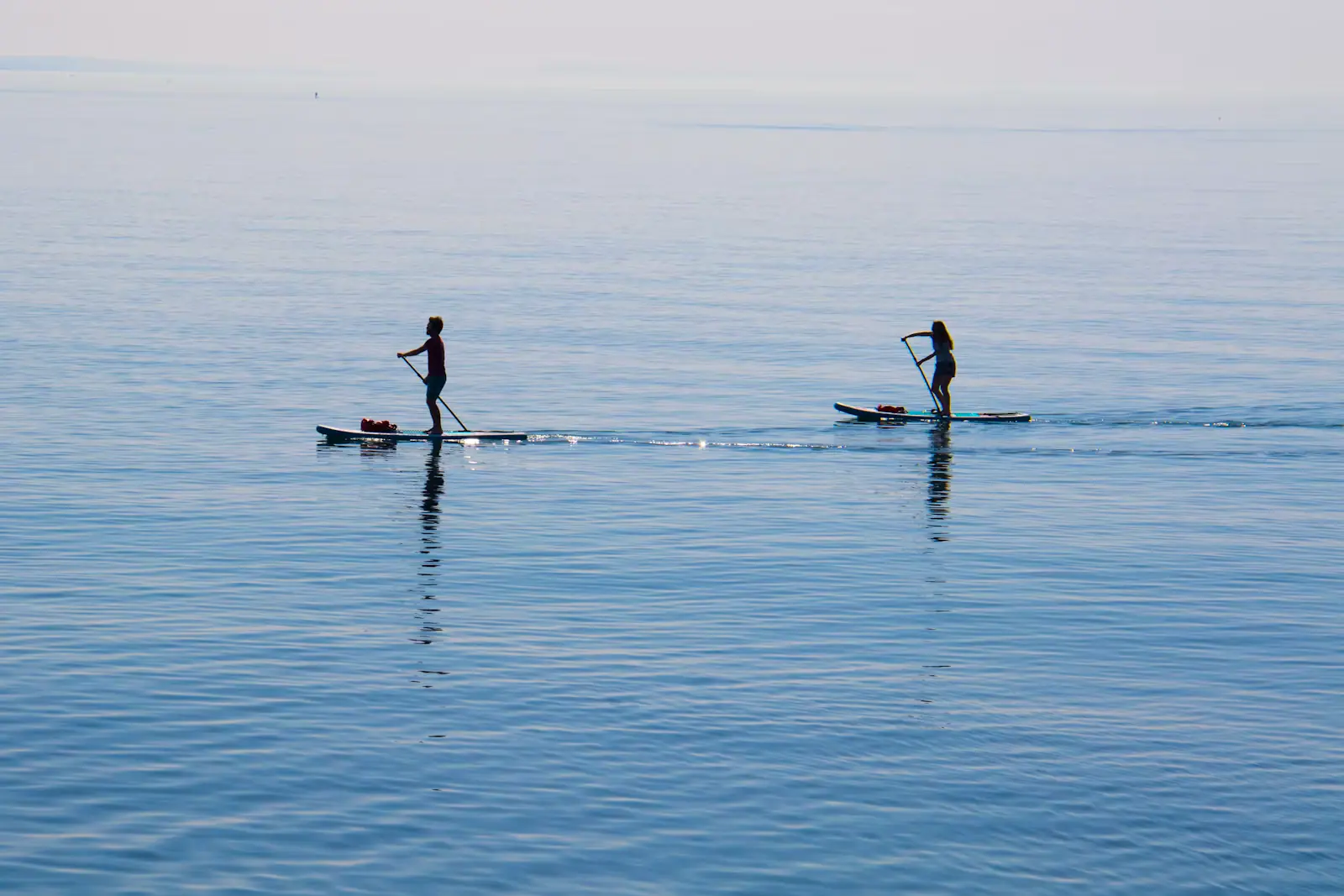
  • Two paddleboarders on a wide sheet of flat, pale, mirror-calm water under a soft sky
    Water feature

    Santa Rosa Sound

    Free

    Thirty-odd miles of waist-deep water between the mainland and the island, with a shipping channel dredged straight down the centre of it.

    1–5 hoursFree. Public access points on both shores cost nothing; equipment hire and boat fuel are separate.

    Photograph: Unsplash

  • A palm-lined pedestrian street with low shopfronts and cafe tables set out along it
    Entertainment

    The Boardwalk on Okaloosa Island

    Free

    A county beach access with restaurants, shops and a playground attached — the one spot on the island where a day needs no planning.

    1.5–5 hoursFree to enter, with free parking. Food, shops and the adjoining pier are paid separately.

    Photograph: Earth Science and Remote Sensing Unit, Lyndon B. Johnson Space Center

  • A launch ramp sloping into flat grey water on a still morning with a low wooded shoreline beyond
    Park

    Liza Jackson Park

    Free

    The mainland's launch ramp on Santa Rosa Sound: free, open around the clock, and where a lot of Crab Island days actually start.

    1–4 hoursFree, including parking and boat launching.

    Photograph: iNaturalist user: lightbed

  • A raised timber boardwalk curving through dense green woodland and palmetto
    Neighbourhood

    Niceville

    Free

    The county's inland town, with a boardwalk over a creek clear enough to swim in and a name it chose in 1910 to stop being called Boggy.

    2–5 hoursFree to visit. The Turkey Creek boardwalk costs nothing; theatre tickets and state park entry are separate.

    Photograph: Earth Science and Remote Sensing Unit, Lyndon B. Johnson Space Center

  • Small boats moored alongside a timber dock and gangway on sheltered water
    Neighbourhood

    Shalimar

    Free

    A few hundred people on a bayou between two air bases, on ground that was chartered in 1931 to become a deep-water port.

    0.5–1 hoursFree. There is nothing ticketed in Shalimar.

    Photograph: Earth Science and Remote Sensing Unit, Lyndon B. Johnson Space Center

Straight answers

Questions people actually ask

Do you need a car in Fort Walton Beach?

For most visitors, yes. The beach is on Okaloosa Island, the museums are on the mainland, the biggest attraction is in a bay and the neighbouring town is across a pass, and almost none of that is walkable between pieces. The exception is a beachfront condominium stay where you plan to walk to the sand and take a shuttle to any boat trip. Public transit is built for residents rather than visitors.

Which airport is closest to Fort Walton Beach?

Destin–Fort Walton Beach Airport, code VPS, which sits on Eglin Air Force Base property near Valparaiso and shares the airfield with the Air Force. It is roughly half an hour from Okaloosa Island via State Road 85. Pensacola International and Northwest Florida Beaches International near Panama City Beach are each around an hour and a quarter away and often carry cheaper fares.

Is parking free at the beach in Fort Walton Beach?

At the main county accesses on Okaloosa Island, yes. John Beasley Park and The Boardwalk both have large free car parks with restrooms and outdoor showers, which is unusual on this coast. The exception is the National Park Service's Okaloosa Day Use Area on the bay side, which charges a Gulf Islands National Seashore entrance fee per vehicle, valid for seven days across the seashore.

How long does it take to drive from Fort Walton Beach to Destin?

Eight miles, and anywhere between fifteen and sixty minutes depending entirely on the hour. US 98 is the only through road and it narrows over the Marler Bridge at East Pass. Before nine in the morning or after seven in the evening the drive is quick. Between late morning and early evening in June and July it is the slowest stretch of road in Okaloosa County.

Is there public transport in Fort Walton Beach?

Yes, run by EC Rider, Okaloosa County's transit agency, based on Transit Way in Fort Walton Beach with around ten routes covering Fort Walton Beach, Destin and Crestview plus a seasonal beach-area service. Fares are low. Frequency is designed for residents commuting rather than visitors making a departure time, so check the current timetable rather than assuming a bus will be along shortly.

Is the Mid-Bay Bridge a toll road?

Yes. The Mid-Bay Bridge carries State Road 293 for 3.6 miles across Choctawhatchee Bay between US 98 in Destin and State Road 20 in Niceville, and it has been tolled since it opened in June 1993. The Spence Parkway connector running north from it is tolled separately, so one journey can generate two charges. Use a transponder or expect an invoice by post.

What is happening with the Brooks Bridge?

It is being replaced. The four-lane bridge carrying US 98 between mainland Fort Walton Beach and Okaloosa Island opened in 1966, and a large project has been building two wider, higher parallel spans alongside it, with sidewalks, bike lanes and shared-use paths added. Junctions and lane patterns on both approaches have changed repeatedly during construction, so follow the signage rather than an older map.

Can you get to Okaloosa Island without a car?

You can, with planning. EC Rider serves the area and runs a seasonal beach service, rideshare works reasonably along the US 98 strip in season, and some hotels run shuttles. Cycling across is currently constrained by the Brooks Bridge works, though the replacement is adding shared-use paths. For a car-free trip, staying on the island itself rather than the mainland makes far more sense.