Destin Dolphin Cruise (opens in a new tab)
Our product is unique because of how easy it is to walk around and see over the side of the boat. Our boat is stable open air with a…
1–2 hours
Prices checked
Water feature
Last updated
The only channel between Choctawhatchee Bay and the Gulf, started by four men with shovels in a 1929 flood and never closed since.
Photo: Jacob WestonCC BY 4.0
Every charter boat, shrimper, pontoon and Coast Guard cutter working this coast goes through one gap in the sand, and that gap was dug by hand in a week.
In mid-March 1929 a run of spring rains put the Choctawhatchee River into the bay hard enough to raise the water level by several feet, and Destin — then a small fishing settlement — was watching its docks and houses go under. Four residents, O.T. Melvin, Dewey Destin Sr., Arn Strickland and Dolf Weekly, took shovels and boat oars down to the narrow strip of sand separating the swollen bay from the Gulf and started a relief trench about six feet wide. They wanted to let some pressure off.
The bay did the rest. Water under that much head found soft sand, and the trench blew out to something in the order of five hundred feet across. What had been an intermittent, wandering opening became a permanent channel, and it has been the only connection between Choctawhatchee Bay and the Gulf of Mexico ever since.
The consequences run through everything else on this coast. Destin's charter fleet exists because boats can reach deep water in minutes rather than hours. Crab Island exists because the Corps of Engineers dredged the pass repeatedly and dumped the spoil in the bay. The jetties exist because a channel that natural has to be held in place. The bay's salinity, its seagrass, its fishery and its water clarity are all downstream of a decision made by four men with garden tools during a flood.
You can watch it from Norriego Point on the Destin side, from the Marler Bridge, or from a boat. Most visitors see it going through on a charter and never look up.
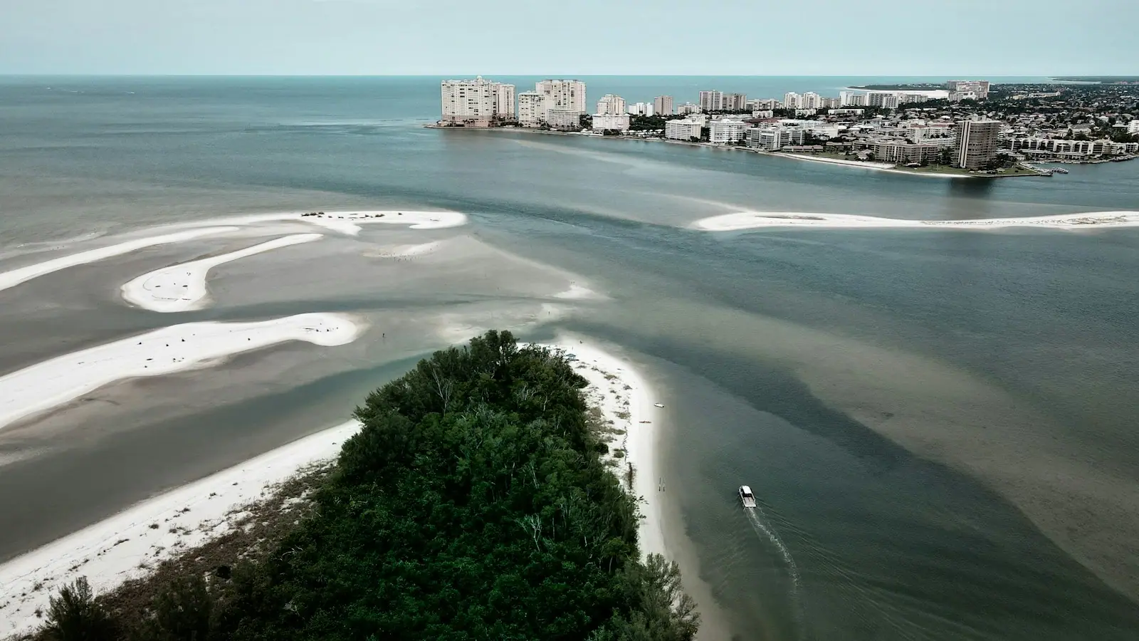
East Pass sits at the eastern tip of Santa Rosa Island, where Okaloosa Island ends and Destin begins. From Fort Walton Beach it is about 25 to 30 minutes east on US-98.
For the view from above, the Marler Bridge carries US-98 over the pass and has a pedestrian walkway; park on the Destin side and walk back onto the span. For the view from the water's edge, continue into Destin and follow signs for Norriego Point, a rebuilt public park on the hooked spit at the harbour mouth, with parking nearby.
The east jetty is reached on foot from the Destin side past Norriego Point. It is a walk over sand and then over rock, and it is not a stroll in flip-flops.
There is no land access to the pass from the Okaloosa Island side beyond the undeveloped beach that runs out towards it; the western jetty is a boat-only proposition.
Allow for Brooks Bridge construction delays on US-98 through Fort Walton Beach into summer 2027.
A whole bay empties and fills through this one gap twice a day. That is a large volume through a narrow opening, and it produces current strong enough to matter to a boat, never mind a swimmer.
The rules of thumb local boaters work to: run the pass at or near slack water where you can, not at peak flow. An outgoing tide meeting an incoming Gulf swell stacks the water up into a short, steep, breaking sea in the mouth of the pass, and that combination has rolled boats. On a windy day with the tide running out, small craft belong in the bay.
For swimmers the message is blunter. Do not swim in the pass. The current there is not a rip current that releases you a hundred yards offshore; it is a tidal race that takes you to sea or drags you along a rock structure. People who know the water snorkel the inside of the east jetty near slack and get out before the tide turns. People who do not know the water get into trouble every single season, and the Coast Guard station sits right there for a reason.
Watch it before you trust it. Stand at Norriego Point through a tide change and the water will tell you everything.
Best time is late afternoon on an incoming tide, when the fleet is coming home and the light is behind you.
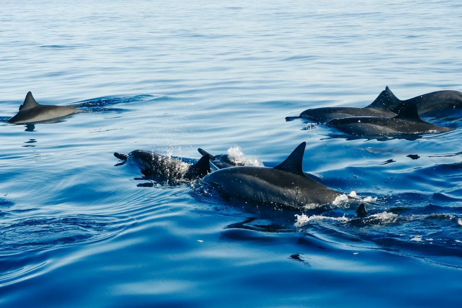
Moving water concentrates food, and a pass is a permanent buffet. Bottlenose dolphins work East Pass year-round and are more reliably seen here than anywhere else on this coast, because they have learned to hold station in the flow and pick off what comes through. Boats going out at dawn frequently have an escort.
Bait moves through in seasonal pulses and the predators follow: Spanish and king mackerel, jacks, redfish, flounder on the sandy edges, tarpon through the summer months. Anglers fish the pass on the tide with a precision that looks like superstition until you understand what the water is doing underneath.
Sea turtles pass through as well, particularly loggerheads, moving between Gulf feeding grounds and the bay. Ospreys and pelicans work the surface.
The visibility question is worth knowing. Water in the pass clears noticeably around a high tide, when Gulf water has pushed in and displaced the tannin-stained bay water; on a strong outgoing tide after rain it can be green-brown. That is why snorkellers and divers here plan around the tide table rather than the weather forecast.
A pass this young and this sandy does not stay put on its own. The Corps of Engineers dredged East Pass for the first time in 1931, two years after it opened, and by the time jetty construction began at the end of 1967 the count stood at twenty-two separate dredging campaigns. The jetties finished in 1969 were the attempt to stop that cycle, and they only partly succeeded: shoaling in the channel is still managed rather than solved.
That maintenance history is why Crab Island is where it is. Spoil from the dredging went into the bay north of the bridge and built an island that has since eroded back to the submerged sandbar people raft up on.
For a visitor the practical consequences are small but real. Dredging operations occasionally work the pass, with a dredge and pipeline on station and traffic managed around them. Sandbars inside the pass shift between seasons, which is why local captains read the water rather than a chart, and why running the pass in an unfamiliar rental boat at low water is a bad idea.
Operators run these trips past East Pass, or stop there as part of a longer route. We list what the booking data supports — not everything that mentions the name.
Some links below go to Viator, our booking partner. We earn a commission on bookings made through them — at no extra cost to you, and with no influence on what we recommend.

Our product is unique because of how easy it is to walk around and see over the side of the boat. Our boat is stable open air with a…
1–2 hours
Prices checked

Experience the thrill of dolphin-watching with Hydrojet on an excursion that navigates Crab Island, showcases a scenic cruise of Destin…
1 hour
Prices checked

The Dolphin Cruises are 1 hour narrated cruises through the Destin Harbor, through the East Pass into the Gulf of Mexico and into the Bay…
1–2 hours
Prices checked

Cruise the stunning waters of Destin and witness playful wild dolphins in their natural habitat. This 1.5-hour dolphin cruise offers a…
1–2 hours
Prices checked
Straight-line distances, so allow more on the road — the island is long and has one main parkway.

Two rock walls of Kentucky limestone holding the pass open, and the closest thing this coast has to a reef.
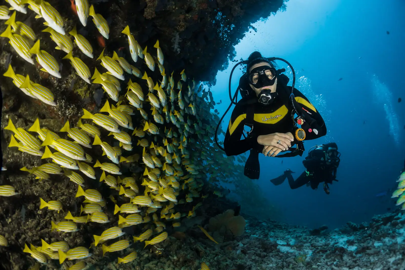
1–4 hoursFree to reach on foot on the Destin side. Guided snorkel and dive trips from Destin Harbor are priced by the operator.530 ft away
Photograph: Unsplash

Half an hour east: the largest charter fishing fleet in the country, most Crab Island departures, and the noise to match.
1.5–8 hoursFree to walk the harbour and the boardwalk. Charters, rentals and shuttles are priced by operator, and Destin's offshore trips sit well above the regional average.0.5 mi away
Photograph: Wikideas1

A submerged sandbar north of the Destin bridge where the bay runs waist-deep and several hundred boats raft up. Reachable only by water.
3–8 hoursThe sandbar itself is free public water. The cost is the boat: shuttle seats at the low end, pontoon rentals in the mid hundreds for a half or full day, private charters higher.0.6 mi away
Photograph: Nicolas Henderson

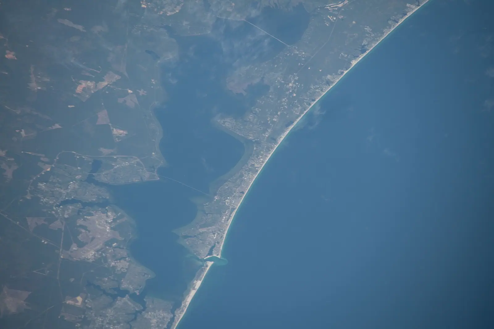
Twenty-seven miles of near-tideless brackish water with one narrow way out to the Gulf, which is why everything on this coast floats on it.
2–8 hoursFree to be on. The Mid-Bay Bridge is tolled, and boat rental, fuel and launch ramps are separate costs.10.6 mi away
Photograph: Earth Science and Remote Sensing Unit, NASA Johnson Space Center
Where this place fits into a day, and the pages that plan one.

The water colour here is not a marketing decision. Sand on this part of the Panhandle is close to pure quartz, ground out of the southern…

An attraction in this town is usually a landform. There is no theme park on the mainland, no aquarium chain, no historic district of restored…

Look at a chart of this coast and one feature explains almost every boat trip sold on it. Between Pensacola Pass and St Andrew Bay at Panama City, a…
Photograph: Unsplash

Most destinations sell dolphin trips on the promise that dolphins live there. This one can be more precise than that, because somebody counted. In…
Photograph: Unsplash

Two facts govern an evening boat trip here, and neither is about the boat. The first is the clock. Fort Walton Beach keeps Central time, which puts…
Photograph: Unsplash

US 98 is the spine, the only spine, and it crosses water three times between Pensacola and Panama City. Understanding that one fact explains almost every delay you will have here.
7 min readTamika Rowe
Photograph: Unsplash

A quarter-mile pier, a surf line, thirty miles of bay, a tidal pass and the largest charter fleet in Florida. They are five different sports and only one of them needs a big cheque.
8 min readGrant Ochoa
Photograph: Unsplash

The boat is the easy part. The parts that cost people money are the fuel policy, the licence nobody mentioned, and an ebb tide running out of East Pass against a south wind.
7 min readGrant Ochoa
Photograph: Unsplash
By four men with shovels and a flood. In mid-March 1929 spring rains raised Choctawhatchee Bay several feet and threatened the docks and houses of Destin. O.T. Melvin, Dewey Destin Sr., Arn Strickland and Dolf Weekly dug a relief trench about six feet wide across the sand to let the pressure off. The head of water behind it blew the trench out to roughly five hundred feet, and the channel has stayed open ever since.
Not in the pass itself. A whole bay drains and fills through that one gap twice a day, producing a tidal race rather than ordinary surf, and it will take a swimmer to sea or along the rocks. The safe version is the sheltered inside curve of Norriego Point, where the water is calm and shallow. Experienced snorkellers work the inside of the east jetty near slack water and get out before the tide turns.
Three good spots, all free. The Marler Bridge on US-98 has a pedestrian walkway and the widest view, taking in the pass, the Gulf, and Crab Island on the bay side. Norriego Point on the Destin side puts you at water level right by the channel. And the east jetty, a walk over sand and rock from the Destin side, sits beside the flow. Late afternoon on an incoming tide is the best of it.
Because of which way the tide is running. On a flood tide, clear Gulf water pushes in through the pass and visibility is at its best. On a strong ebb, particularly after heavy rain on the Choctawhatchee River, tannin-stained bay water flushes out and the pass turns green-brown. This is why divers and snorkellers on this coast plan around the tide table rather than the weather forecast, and why Crab Island clears near high water.