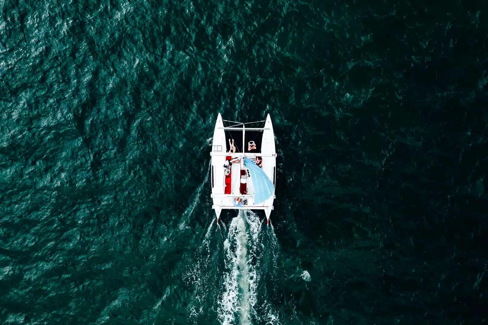
Top Shelf Tikis Crab Island Adventure 3 hr (opens in a new tab)
Set sail on a lively 3-hour Premium Tiki Boat trip to Crab Island in Destin, Florida, where adventure and relaxation await. This…
3 hours
Prices checked
Park
Last updated
Three easy loops through 300-year-old longleaf pine on a bayou shore that the Air Force used as a gunnery range before it was a park.
Photo: Dane314pizzaCC0
Storm damage closes individual trails from time to time. Check the park's current alerts on floridastateparks.org before you travel.
Okaloosa County has one state park, and it is not on the coast. Fred Gannon Rocky Bayou State Park sits on Highway 20 southeast of Niceville, on the north shore of Choctawhatchee Bay, twenty-five minutes and an entirely different landscape from the beach.
Three hundred and fifty-seven acres does not sound like much, and on a map beside the Eglin reservation it is a rounding error. What makes it worth the drive is what is standing on it. Longleaf pines here are described as more than three hundred years old, which in a state where almost everything was cut twice over is close to unheard of. They survived for an unromantic reason: this was Air Force ground. The land formed part of Eglin's gunnery and bombing ranges, nobody logged it because nobody was allowed on it, and the eastern shore of Rocky Bayou was eventually set aside for public use through the efforts of Colonel Fred Gannon, whose name is now on the gate.
The park is laid out as three short loop trails totalling roughly three and a third miles, all of them easy. The Rocky Bayou Nature Trail runs above the shoreline through the big pines. The Sand Pine Trail drops into the valley cut by Puddin Head Stream and works through sand pine scrub, a dry, spiky, white-sand habitat that looks nothing like the rest of the park. The Red Cedar Trail is the shortest. Puddin Head Lake sits in the middle of the whole thing, a small freshwater lake in the middle of a saltwater county.
There is a boat ramp and a paddle launch onto Rocky Bayou, which is the quietest arm of Choctawhatchee Bay and the best place in the county to put a kayak in without competing with anything. There are thirty-eight campsites with water and electric, a playground, picnic pavilions and restrooms.
Entry is published at around five dollars a vehicle. Florida sets state park fees and they change; check before you go.
On SR 20 southeast of Niceville, on the north shore of Choctawhatchee Bay. The entrance is signed on the south side of the highway.
From Fort Walton Beach, take Eglin Parkway (SR 85) north through Shalimar and Valparaiso to Niceville, then SR 20 east. Allow thirty to thirty-five minutes. From Okaloosa Island add the Brooks Bridge crossing, which in summer is the unpredictable part of the journey.
From Destin the quickest approach is north over the Mid-Bay Bridge, which is tolled, then west on SR 20 for a few minutes. That route avoids US 98 entirely and is worth the toll in season.
Parking is inside the park and included in the entry fee. The boat ramp and paddle launch have their own small area; trailer space is limited and fills on a winter weekend morning.
Longleaf pine once covered most of the southeast, and then it did not. The species was cut for timber, turpentined for resin, and its ground converted to faster-growing slash pine plantation. What is left across the whole range is a small fraction of what was there.
The Panhandle keeps more of it than most places, and the reason is the Air Force. When the Choctawhatchee National Forest was handed to the War Department in 1940 and became the Eglin reservation, hundreds of thousands of acres of pine went out of commercial reach overnight. Bombing ranges make poor logging concessions. The ecosystem survived through the twentieth century inside a fence, and it is still one of the largest remaining blocks of old-growth longleaf anywhere.
This park is a piece of that ground handed back. Walk the Rocky Bayou Nature Trail and the trees on either side of you are wide-spaced, thick-barked and tall, with an open grassy floor between them rather than the dense scrub of a plantation. That openness is what longleaf looks like when fire has been allowed to run through it regularly, which is exactly what happens on a range.
It is a strange thing to be grateful for. The trees are here because the ground was worth more as a target than as timber.
Roughly three and a third miles of trail in total, none of it hard, all of it flat by any standard except Florida's.
Rocky Bayou Nature Trail. The shoreline loop through the big pines, with the bayou on one side and open pine woods on the other. The one to walk if you only walk one, and the best for an early morning when the light comes in flat under the canopy.
Sand Pine Trail. The most interesting habitat and the least obvious. It drops downhill into the valley cut by Puddin Head Stream, past the stream restoration work below the lake, and loops through sand pine scrub — deep white sand, low twisted trees, rosemary and lichen, a dry habitat sitting a hundred yards from a bayou.
Red Cedar Trail. Short, and easily added to either of the others.
Practicalities. Trails are natural surface, sandy in places and soft going after rain. There is almost no bench and less shade on the scrub sections than the map implies. Mosquitoes and ticks are both present from spring into autumn; long trousers and repellent are not fussy here, and the ticks are the reason. Go early, carry water, and expect to be alone on a weekday.
Rocky Bayou is the north-western arm of Choctawhatchee Bay, sheltered on every side, shallow, and almost entirely undeveloped along this shore because Eglin owns the ground behind it.
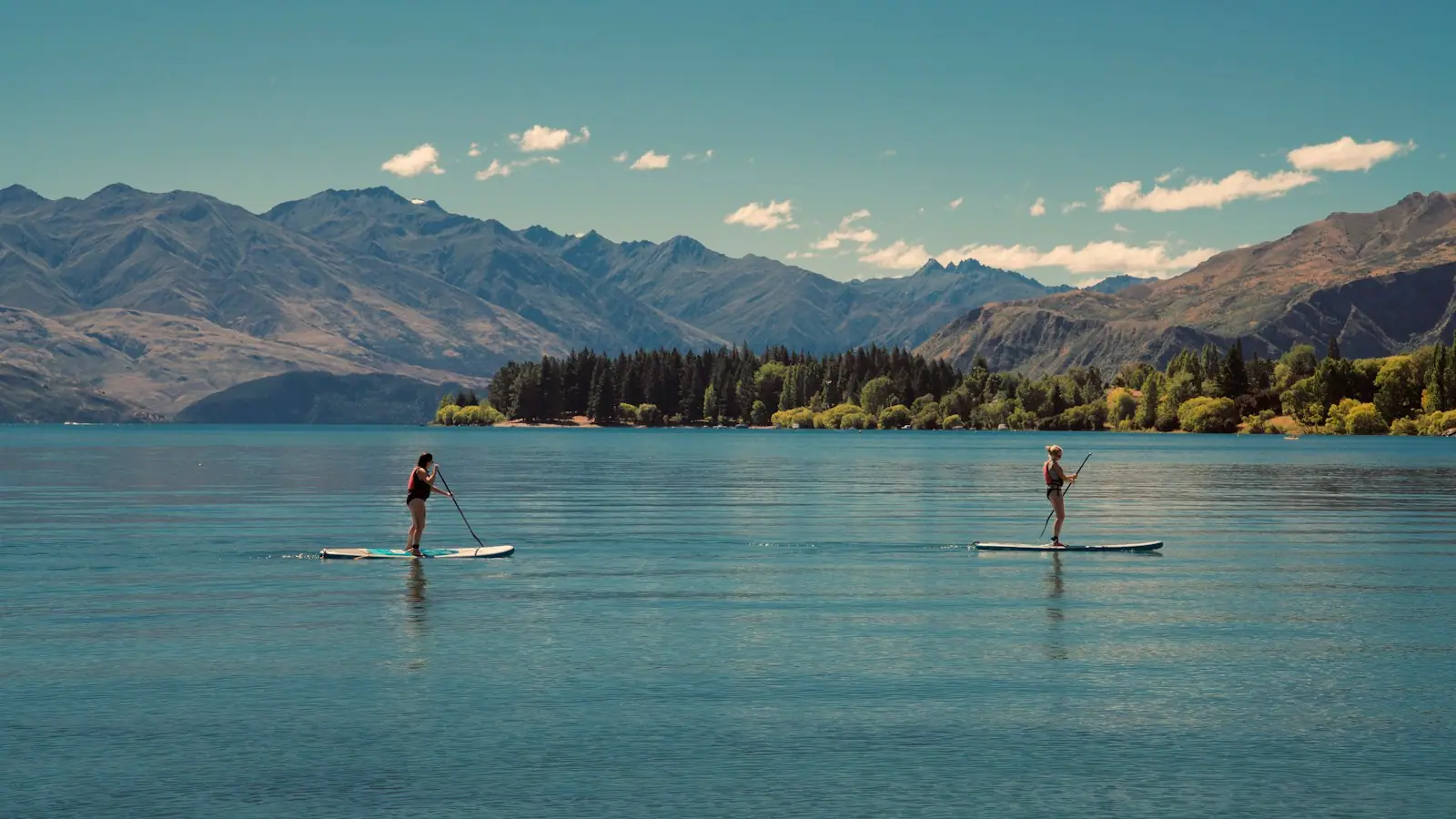
The park's ramp and paddle launch put you onto it directly. For a kayak or a paddleboard this is the best water in Okaloosa County: no barge channel, no rental pontoons, no jet ski traffic, and enough shoreline to follow for a couple of hours without repeating yourself. Ospreys work the bayou through the year and the birding along the edges is better than anything on the coast.
Puddin Head Lake sits inland, a freshwater lake in the middle of the park, fished for bream and bass by people who have been coming for decades. Freshwater and saltwater licence rules differ in Florida and both come from the FWC, so check which applies to where you are casting.
Swimming is not what this park is for. There is no designated swim area, no lifeguard and no changing facilities, and the bayou bottom is soft. If you came for water you can get into, the sound or the Gulf is half an hour south.
Thirty-eight sites with water and electric, taking tents and RVs, with restrooms and a bathhouse, and four sites described as accessible. It is small, it is quiet, and it books out through the cooler months on the state's reservation system, which opens a long way ahead.
The season here is the opposite of the beach season. November to March is when this park is at its best: cool enough to walk in the middle of the day, dry enough that the sand trails are firm, no insects to speak of, and the light through the pines at a low angle. Winter is also when the campground is worth booking, because a site in a pine wood twenty minutes from the coast is a genuinely nice place to be in February.
June to September is hot, humid and buggy. The trails are still walkable before nine in the morning and unpleasant after eleven. Afternoon thunderstorms build over the Eglin reservation almost daily in summer and arrive here first, which is worth knowing if you are on the water.
One honest warning about hurricane season. This is a wooded park on a bay shore and storm damage closes trails. Check the park's current alerts before you drive over rather than assuming everything is open.
Operators run these trips past Rocky Bayou, or stop there as part of a longer route. We list what the booking data supports — not everything that mentions the name.
Some links below go to Viator, our booking partner. We earn a commission on bookings made through them — at no extra cost to you, and with no influence on what we recommend.

Set sail on a lively 3-hour Premium Tiki Boat trip to Crab Island in Destin, Florida, where adventure and relaxation await. This…
3 hours
Prices checked

Our product is unique because of how easy it is to walk around and see over the side of the boat. Our boat is stable open air with a…
1–2 hours
Prices checked

Tour Highlights: 1. Crab Island Exploration: This submerged sandbar is renowned for its crystal-clear emerald waters (at high tide as…
3 hours
Prices checked

Experience the thrill of dolphin-watching with Hydrojet on an excursion that navigates Crab Island, showcases a scenic cruise of Destin…
1 hour
Prices checked

Come join us on the water, create memories and photo ops that will last a lifetime on the most photographed vessel in the harbor in the…
3 hours
Prices checked

Experience Crab Island on a small-group Destin boat tour limited to just 6 guests. Unlike crowded party boats, this intimate charter…
3 hours
Prices checked
Straight-line distances, so allow more on the road — the island is long and has one main parkway.

The county's inland town, with a boardwalk over a creek clear enough to swim in and a name it chose in 1910 to stop being called Boggy.
2–5 hoursFree to visit. The Turkey Creek boardwalk costs nothing; theatre tickets and state park entry are separate.3.6 mi away
Photograph: Earth Science and Remote Sensing Unit, Lyndon B. Johnson Space Center

Twenty-seven miles of near-tideless brackish water with one narrow way out to the Gulf, which is why everything on this coast floats on it.
2–8 hoursFree to be on. The Mid-Bay Bridge is tolled, and boat rental, fuel and launch ramps are separate costs.5.5 mi away
Photograph: Earth Science and Remote Sensing Unit, NASA Johnson Space Center

463,128 acres of pine and test range behind the beach: a free museum outside the gate, and a permit for walking any of the rest.
1.5–8 hoursThe Air Force Armament Museum is free. Recreational access to the reservation requires an inexpensive Eglin permit.5.9 mi away
Photograph: Unknown authorUnknown author

A few hundred people on a bayou between two air bases, on ground that was chartered in 1931 to become a deep-water port.
0.5–1 hoursFree. There is nothing ticketed in Shalimar.9.7 mi away
Photograph: Earth Science and Remote Sensing Unit, Lyndon B. Johnson Space Center
Where this place fits into a day, and the pages that plan one.

The water colour here is not a marketing decision. Sand on this part of the Panhandle is close to pure quartz, ground out of the southern…

An attraction in this town is usually a landform. There is no theme park on the mainland, no aquarium chain, no historic district of restored…

The case for bringing children here rather than eight miles east comes down to three unglamorous facts. Parking at the main Gulf beach accesses on…

The useful thing about paddling here is not that the water is pretty. It is that there is nearly always somewhere flat to go. Fort Walton Beach sits…
Photograph: Unsplash

One of the largest military installations on earth sits behind this town, and the reason the beach road was ever paved. Most of it is closed. The best parts are free.
7 min readShelby Duval
Photograph: Unsplash

A quarter-mile pier, a surf line, thirty miles of bay, a tidal pass and the largest charter fleet in Florida. They are five different sports and only one of them needs a big cheque.
8 min readGrant Ochoa
Photograph: Unsplash

The boat is the easy part. The parts that cost people money are the fuel policy, the licence nobody mentioned, and an ebb tide running out of East Pass against a south wind.
7 min readGrant Ochoa
Photograph: Unsplash
A small per-vehicle fee, published at around five dollars, paid at the ranger station or an honour box at the entrance. Florida sets state park fees and reviews them periodically, with a lower rate for a single occupant and separate charges for camping. Check floridastateparks.org for current pricing before you travel. Parking inside the park is included, and there is no extra charge for the trails, the ramp or the paddle launch.
About three and a third miles in total across three easy loops. The Rocky Bayou Nature Trail follows the shoreline through the old longleaf pines, the Sand Pine Trail drops into the valley of Puddin Head Stream and loops through dry sand pine scrub, and the Red Cedar Trail is the shortest of the three. All are natural surface, flat, and soft going after rain. Allow an hour and a half to walk all three without hurrying.
Because the range is why the forest survived. This ground was part of Eglin's gunnery and bombing ranges, which meant no logging for most of the twentieth century, and longleaf pines here are described as more than three hundred years old as a direct result. The eastern shore of Rocky Bayou was set aside for public use through the efforts of Colonel Fred Gannon, whose name the park carries. Eglin still owns the land on most sides of it.
Yes. There are thirty-eight sites with water and electric hookups taking both tents and RVs, with restrooms and a bathhouse, and four sites described as accessible. It is a small campground in pine woods on a bayou shore, twenty-five minutes from the coast, and it books out through the winter on Florida State Parks' reservation system, which opens well ahead. Summer availability is easier and summer camping here is hot and buggy.
This is not a swimming park. There is no designated swim area, no lifeguard and no changing facilities, and the bayou bottom is soft. What the water is good for is paddling: the park has a boat ramp and a kayak launch onto Rocky Bayou, which is the most sheltered and least trafficked arm of Choctawhatchee Bay, with undeveloped Eglin shoreline on most sides. For swimming, the sound or the Gulf is about half an hour south.