Crab Island Pontoon Boat Tour with Captain 3 Hour Destin Charter (opens in a new tab)
Experience Crab Island on a small-group Destin boat tour limited to just 6 guests. Unlike crowded party boats, this intimate charter…
3 hours
Prices checked
Landmark
Last updated
Two rock walls of Kentucky limestone holding the pass open, and the closest thing this coast has to a reef.
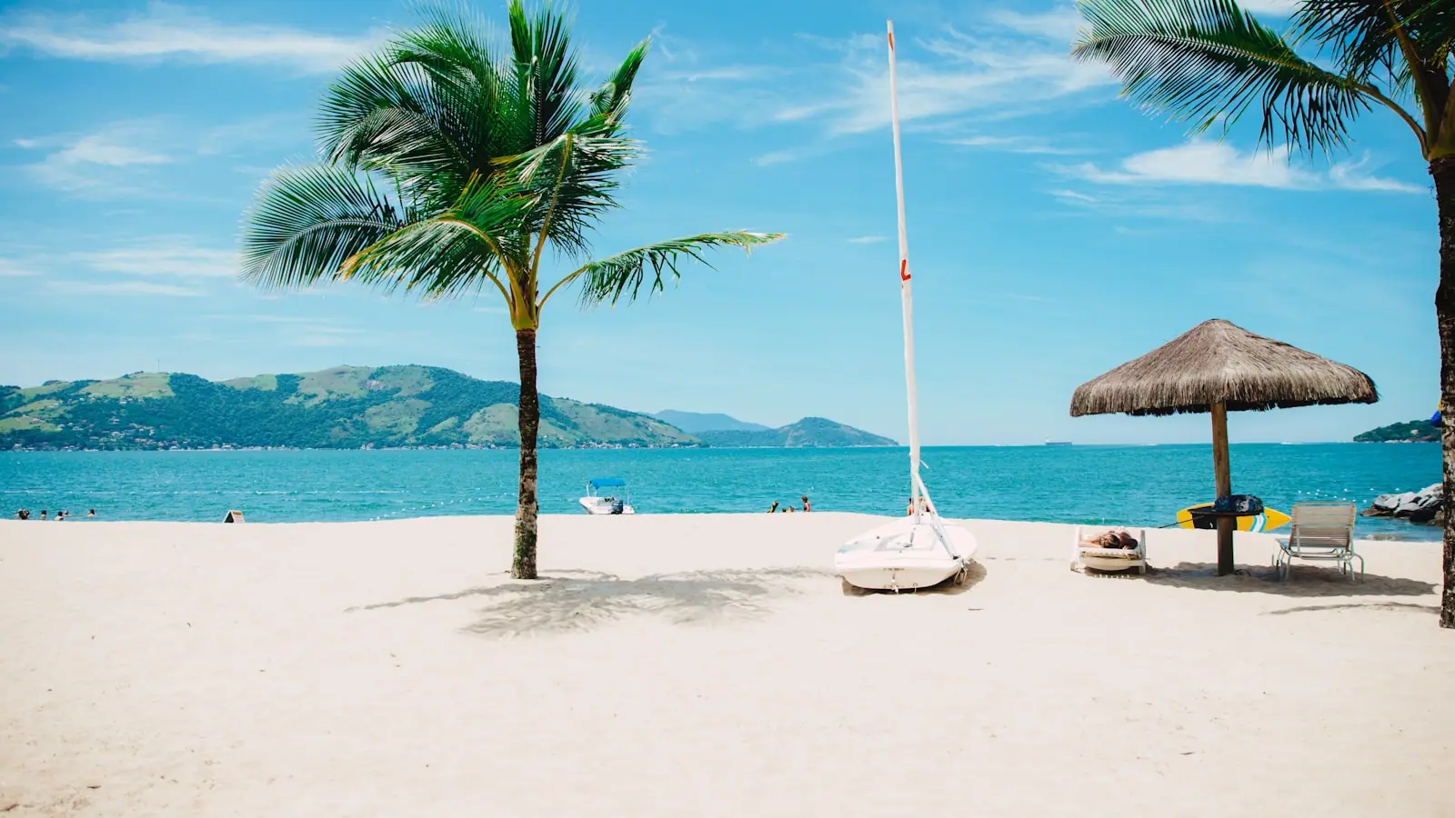
Photo: UnsplashUnsplash License
The Gulf off the Florida Panhandle has no natural reef worth snorkelling. What it has instead is the Destin jetties: two parallel rock walls running from the shoreline out into the mouth of East Pass, built to stop the channel silting up and, entirely by accident, the best place on this coast to put a mask in the water.
They are made of imported stone. Sixty-one thousand tons of rock, barged down from Kentucky because nothing local was hard enough or heavy enough, placed over roughly two years and completed in 1969. Before that the Corps of Engineers had dredged the pass more than twenty times in less than four decades, which gives you the scale of the problem they were solving.
Structurally they work like an artificial reef. Rock surfaces grew algae, algae attracted grazers, grazers attracted predators, and inside a few years there was a food chain living on what had been open sand. The east jetty in particular shelves from ankle-deep at the rock line out to something like fifty feet at its seaward end, so snorkellers and free divers and scuba divers all find their depth on the same structure.
The critical distinction is which jetty. The east jetty sits on the Destin side and you can walk to it, over sand and then over rock, from the Norriego Point end of town. The west jetty is on the Okaloosa Island side, has no land approach anyone should attempt, and is a boat destination.
And the critical variable is the tide. This is the edge of a channel through which an entire bay empties twice a day. Get the timing right and it is calm, clear and shallow. Get it wrong and it is a moving wall of water against rock.
The east jetty is the one you can walk to. From Fort Walton Beach, drive east on US-98 for 25 to 30 minutes, cross the Marler Bridge into Destin and follow signs towards Norriego Point at the harbour mouth. Park in that area and walk out along the sand to where the rock begins.
It is not a short or a smooth walk. Expect soft sand, then boulders that are uneven above the waterline and slick with algae below it. Water shoes or neoprene boots rather than sandals, and no bare feet.
The west jetty, on the Okaloosa Island side, has no practical land route. Anybody telling you to walk the undeveloped eastern end of Okaloosa Island to reach it is giving you a long, exposed hike that ends at a tidal race with nobody else present.
The better option for most visitors, and the only sensible one with children, is a snorkel or dive trip from Destin Harbor. Operators run to both jetties, carry the flag, and plan their departures around slack water rather than around your schedule.
Everything about a jetty visit is decided by when you arrive, not by whether it is sunny.
Go at slack. The hour around high slack is the window: the flow drops to near nothing and Gulf water pushing in through the pass gives the clearest visibility of the tidal cycle. Low slack works for current but usually not for clarity, because bay water has been running out.
Do not get in on a strong ebb. An outgoing tide through East Pass moves fast and moves seaward. It does not release you the way a rip current on an open beach does; it takes you out of the pass. Swimmers get into serious trouble here every season, and the Coast Guard station at the pass is not decorative.
Watch the water for ten minutes first. Look at a floating object, a patch of foam, a line of weed. If it is travelling visibly, the current is running and the answer is to come back later.
Never snorkel the jetties alone, never at night, and get out well before the tide turns rather than at the moment it does. Slack does not last long.
Boat traffic is the other hazard: this is an active channel and a diver flag is not optional.
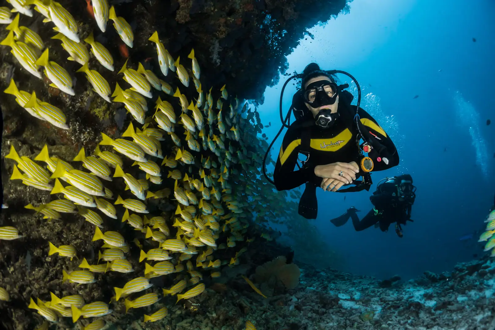
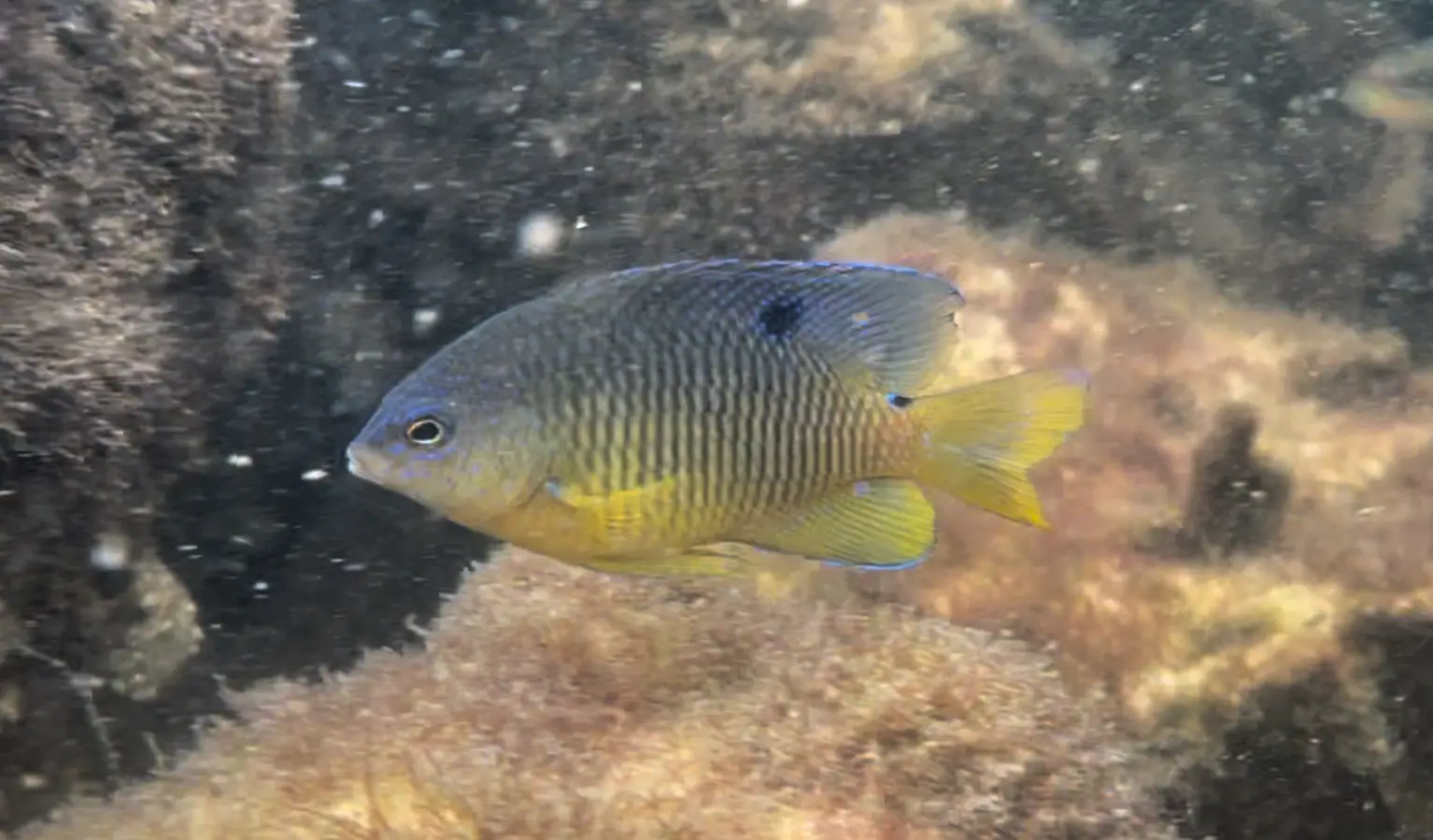
More than most people expect from grey limestone. Sheepshead work the barnacle-covered rock in numbers and are the fish everybody photographs, striped and unbothered. Schools of bait hang in the lee of the structure. Spadefish circle in mid-water. Flounder lie on the sand at the rock line, and redfish and black drum patrol it.
Further out and deeper, the seaward end of the east jetty attracts the bigger traffic that comes through the pass: jacks, mackerel in season, the occasional cobia following a ray. Rays themselves are common on the sand between the rock and the beach; shuffle your feet.
Octopus live in the rock crevices and are the prize sighting for anybody who slows down and looks properly. So are the seahorses that turn up in the weed on the inside.
Sea turtles pass through on their way between the Gulf and the bay. Dolphins hold station in the flow and are seen from the rocks almost daily.
What you will not see is coral. This is a temperate-subtropical rock community, closer in character to a jetty in the Carolinas than to a Caribbean reef, and it is interesting on its own terms rather than as a substitute.
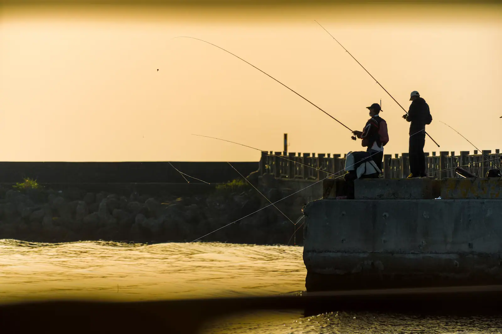
The jetties are one of the most fished structures on the Emerald Coast, and the regulars are there at first light with a purpose.
What holds on the rock: sheepshead through the cooler months, particularly around the winter spawn, taken on fiddler crabs by people who do not mind losing tackle. Redfish and black drum year-round. Flounder on the sand edges, best on a moving tide. Spanish and king mackerel in the spring and autumn runs, taken from the seaward end. Tarpon through summer for those willing to lose the fight.
Practicalities. Rock-hopping in wet neoprene boots beats flip-flops by a wide margin, and the granite is sharp and slick with algae below the waterline. Losing rigs is part of the cost. Florida saltwater fishing licence requirements apply from shore here, unlike on a licensed pier, so sort that before you cast.
Have a plan for landing a fish before you hook one. Twenty feet of rock between you and the water is different from a beach.
East jetty. On the Destin side of the pass. Reachable on foot from the Norriego Point end of Destin, which is why it gets the snorkellers, the shore anglers and the crowds. Shelves from very shallow at the rock line to around fifty feet at the seaward point, so it suits everyone from a child with a mask in the shallows to a scuba diver on the outside. This is the one meant when people say "the jetties" without qualifying it.
West jetty. On the Okaloosa Island side. No sensible land approach: the undeveloped end of the island runs out towards it but the walk is long, exposed and ends at the same tidal race with nobody around. Treat it as a boat destination, which is how the dive operators treat it.
For a visitor based in Fort Walton Beach, the east jetty means driving 25 to 30 minutes into Destin and parking near Norriego Point. The alternative is booking a snorkel trip out of Destin Harbor, which puts you on the structure with a boat, a flag, a guide who knows the tide and no walk over rock. With children, that is the better purchase.
Operators run these trips past The Jetties, or stop there as part of a longer route. We list what the booking data supports — not everything that mentions the name.
Some links below go to Viator, our booking partner. We earn a commission on bookings made through them — at no extra cost to you, and with no influence on what we recommend.

Experience Crab Island on a small-group Destin boat tour limited to just 6 guests. Unlike crowded party boats, this intimate charter…
3 hours
Prices checked
Straight-line distances, so allow more on the road — the island is long and has one main parkway.

The only channel between Choctawhatchee Bay and the Gulf, started by four men with shovels in a 1929 flood and never closed since.
0.5–2 hoursFree. Viewing from the Marler Bridge walkway, Norriego Point and the east jetty costs nothing.530 ft away
Photograph: Jacob Weston

Half an hour east: the largest charter fishing fleet in the country, most Crab Island departures, and the noise to match.
1.5–8 hoursFree to walk the harbour and the boardwalk. Charters, rentals and shuttles are priced by operator, and Destin's offshore trips sit well above the regional average.0.5 mi away
Photograph: Wikideas1

A submerged sandbar north of the Destin bridge where the bay runs waist-deep and several hundred boats raft up. Reachable only by water.
3–8 hoursThe sandbar itself is free public water. The cost is the boat: shuttle seats at the low end, pontoon rentals in the mid hundreds for a half or full day, private charters higher.0.6 mi away
Photograph: Nicolas Henderson

A protected mile of Gulf front in Destin with thirty-foot dunes — what the whole coast looked like before the condominiums.
2–7 hoursRecently $6 per vehicle for up to eight people, $4 for a single occupant, and $2 per pedestrian or cyclist. Camping is charged separately per night.4.2 mi away
Photograph: wiregrasser
Where this place fits into a day, and the pages that plan one.

The water colour here is not a marketing decision. Sand on this part of the Panhandle is close to pure quartz, ground out of the southern…

An attraction in this town is usually a landform. There is no theme park on the mainland, no aquarium chain, no historic district of restored…

Look at a chart of this coast and one feature explains almost every boat trip sold on it. Between Pensacola Pass and St Andrew Bay at Panama City, a…
Photograph: Unsplash

The fishing fleet on this coast exists because of an accident of bathymetry, and the accident is worth understanding before you book anything. Off…
Photograph: Unsplash

Set your expectations correctly and this is one of the better surprises on the Florida panhandle. Set them wrong and you will spend an afternoon…
Photograph: Unsplash

A quarter-mile pier, a surf line, thirty miles of bay, a tidal pass and the largest charter fleet in Florida. They are five different sports and only one of them needs a big cheque.
8 min readGrant Ochoa
Photograph: Unsplash

The boat is the easy part. The parts that cost people money are the fuel policy, the licence nobody mentioned, and an ebb tide running out of East Pass against a south wind.
7 min readGrant Ochoa
Photograph: Unsplash

Two towns either side of one pass, sharing a beach, a bay and a sandbar. They are not interchangeable, and the right answer depends on things most comparisons never mention.
7 min readShelby Duval
Photograph: Unsplash
At slack water, with a buddy and a diver flag, yes — and the visibility around high slack is the best on this coast. At any other stage of the tide, no. The jetties sit at the mouth of East Pass, where an entire bay drains twice daily, and the current there does not release you the way a beach rip current does. Watch a floating object for ten minutes before getting in.
You can walk to the east jetty, on the Destin side, from the Norriego Point end of town: soft sand and then uneven boulders that are slick with algae below the waterline. Wear water shoes. The west jetty is on the Okaloosa Island side and has no sensible land approach at all; reaching it means a boat. Snorkel and dive operators out of Destin Harbor run to both.
Imported rock. Around 61,000 tons of it was barged down from Kentucky, because nothing suitable was available locally, and placed over roughly two years to finish the structure in 1969. The purpose was to hold East Pass open: the Corps of Engineers had dredged the channel more than twenty times between 1931 and the start of jetty construction. The reef community living on those rocks today is an unintended side effect.
Sheepshead are the signature, grazing the barnacles on the rock in numbers, especially through the cooler months. Redfish, black drum and flounder hold along the rock and sand edge year-round. Spanish and king mackerel come through on the spring and autumn runs, tarpon in summer. Octopus live in the crevices and seahorses turn up in the weed. Rays are common on the sand, so shuffle your feet.