Skip to content
Search
Menu

We earn a commission if you book through this link. You pay the same price.

Beach

Navarre Beach

Last updated

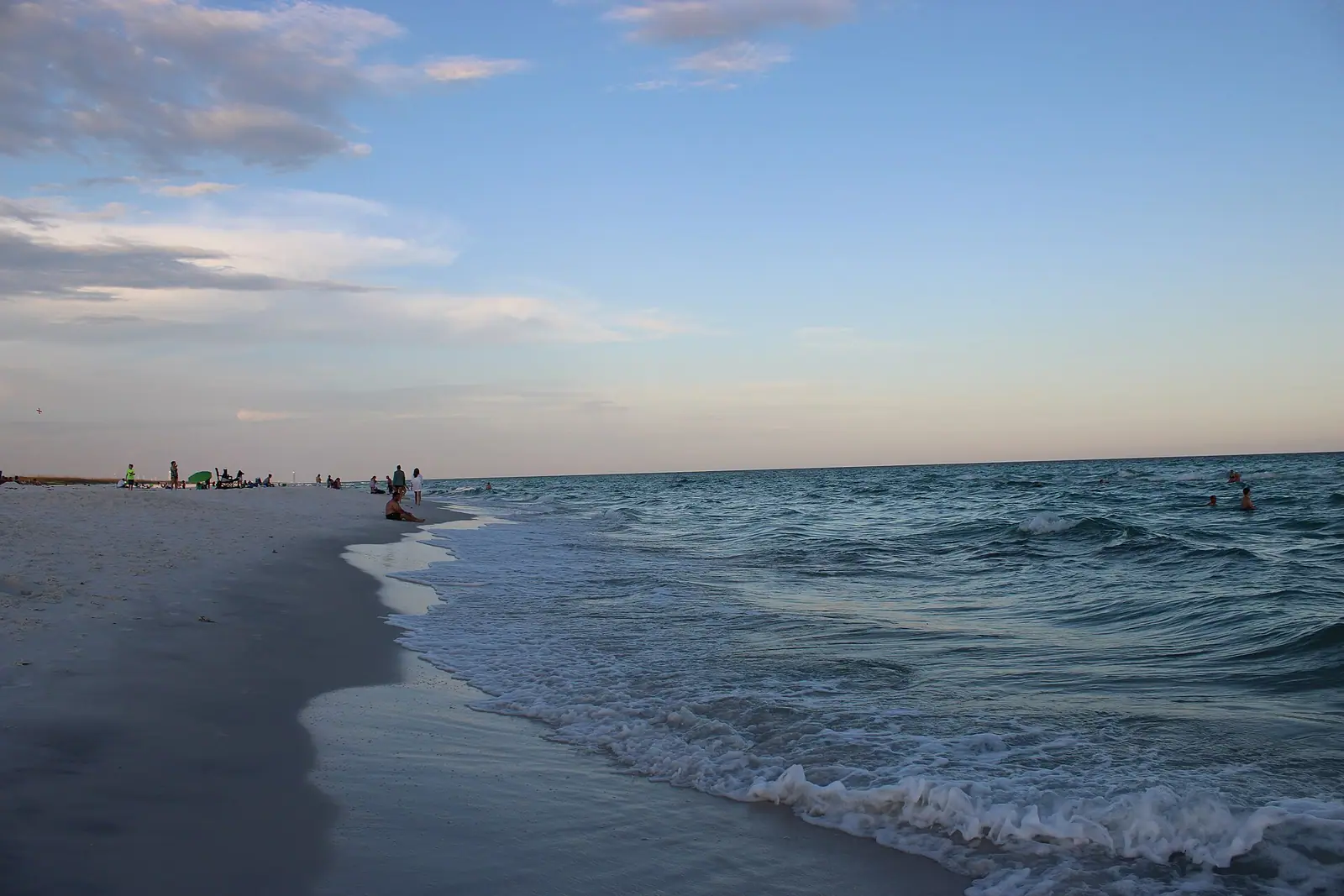
Four miles of low-rise beach hemmed in by federal land, with the longest fishing pier in Florida sticking out of the middle.

Photo: JesselikeswxCC BY 4.0

Closed at the moment

Storms close the pier, and repairs to a structure this exposed take time. Check with Santa Rosa County before travelling if the pier is the reason you are going.

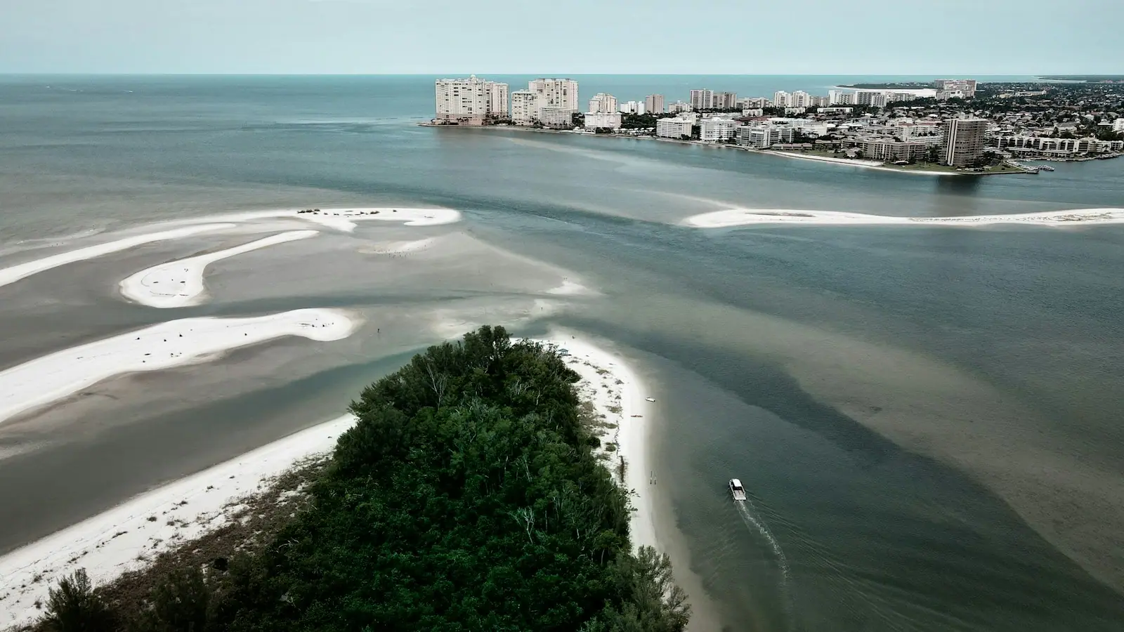
Drive west out of Fort Walton Beach on US 98 for about half an hour, turn south across the causeway, and you arrive somewhere that looks like this coast did before it was developed. Navarre Beach occupies roughly four miles of Santa Rosa Island, it is low-rise almost throughout, and the reason it has stayed that way is not taste or planning policy. It is geography.

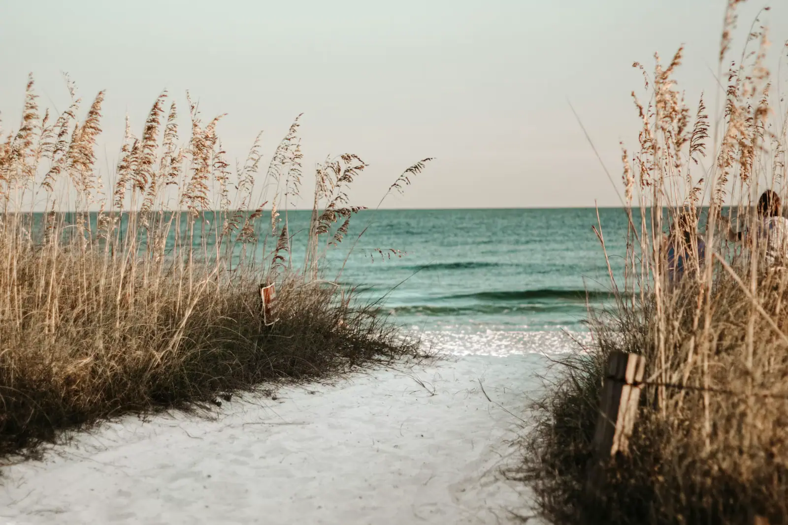
Immediately west lies the Santa Rosa Area of Gulf Islands National Seashore, federal land, undeveloped and permanently so. Immediately east lies Eglin's Santa Rosa Island range, also federal, also closed. Navarre Beach is a few miles of buildable island between two things that cannot be built on, and every mile of shoreline either side of it is empty white sand with nothing on it at all. That single fact is the whole character of the place.

Sticking out of the middle is the Navarre Beach Fishing Pier: 1,545 feet of concrete standing about thirty feet above the water, and the longest fishing pier in Florida and in the Gulf of Mexico. You can walk it for around a dollar. Fishing costs single figures for a day. Walking out to the end and looking back at the island is the best perspective on this coastline that exists without a boat.

The other distinctive thing here is under the water. The Navarre Beach Marine Sanctuary has placed artificial reef modules close enough to shore that you can snorkel to them from the sand, which on a coast otherwise defined by featureless sand bottom is genuinely unusual, and there is a Marine Science Station running education on the same stretch.

Two practical things to hold onto. This is Santa Rosa County, not Okaloosa, so the beach rules you learned in Fort Walton Beach are not the rules here. And services are thinner: fewer restaurants, fewer shops, far less to do when it rains.
Getting there and parking

West from Fort Walton Beach on US 98 for about twenty-five to thirty minutes, past Hurlburt Field, to the town of Navarre on the mainland. Turn south across the Navarre Beach Causeway onto Santa Rosa Island; the pier and the main beach access are straight ahead.

From Okaloosa Island, add the Brooks Bridge crossing at the start and allow closer to forty minutes in season.

From Pensacola Beach, you can also come east along the island road through the Santa Rosa Area of Gulf Islands National Seashore, which is one of the best drives on this coast: a two-lane road through undeveloped dune with the Gulf on one side and the sound on the other.

Beach parking is a mixture of free county lots and paid areas, and the arrangement has changed over the years. Arrive early on a summer weekend; the lots nearest the pier fill first.

1,545 feet of concrete

The Navarre Beach pier is the longest fishing pier in Florida and, by the usual accounting, the longest in the Gulf of Mexico. It runs 1,545 feet out from the sand at about thirty feet above sea level, which is high enough that the perspective changes completely by the time you reach the end.

Two categories of person go out on it. Anglers pay a daily fishing rate in single figures, with weekly and annual passes for the regulars, and work the deeper water beyond the second sandbar for king mackerel, cobia in spring, Spanish mackerel, and whatever the season is bringing through. Everybody else pays around a dollar for a walk-on pass and goes for the view.

Do the walk. From halfway out you look down into water clear enough to watch schools moving, rays gliding over the bottom, and in the right season tarpon and cobia passing below. From the end, the island reads as what it actually is: a thin ribbon of sand with the Gulf on one side, the sound on the other, and almost nothing built on it either way.

Go early in the day for the fishing action and the light, or an hour before sunset for the colour. Check current fees and hours with Santa Rosa County before travelling, because both have moved. Storms close the pier and repairs on a structure this exposed take time.

Why it is still empty either side

Most American beach towns tell you they are unspoilt. Navarre Beach can prove it, and the proof is a map rather than a claim.

To the west, the Santa Rosa Area of Gulf Islands National Seashore runs for miles towards Pensacola Beach: federal shoreline, protected, with a road through it and nothing on it but dune, sea oats and the occasional parking pull-off. To the east, the island continues as Eglin's Santa Rosa Island range, closed to the public and used by the Air Force.

So the developed section is finite. It cannot expand, no matter what the market does, because the ground on both sides is not for sale and never will be.

What this means for a visitor is space. Walk ten minutes west from the last building and the crowd density drops to near zero. The National Seashore stretch is one of the best beach walks in the Panhandle, with sea oats on the dunes, shorebirds working the tideline, and no structure in view in either direction.

It also means darkness. Without a lit strip, this is one of the better places on the coast to look at the night sky, and it is a serious sea turtle nesting beach between 1 May and 31 October precisely because the lighting is low. Keep it that way: no torches on the sand at night in season, and fill in any hole you dug.

Reefs you can swim to

The Gulf bottom along most of this coast is sand, then more sand. It is beautiful and it is empty, and a snorkeller gets very little out of it.

Navarre Beach is the exception, because the marine sanctuary here has placed artificial reef modules within swimming distance of the shore, specifically so that people without a boat can get onto structure. Fish find structure within weeks, and the modules hold reef species that you would otherwise need an offshore charter to see.

Practicalities. Go on a calm day with a light onshore or offshore breeze and clear water; a day or two after a blow, visibility is poor and the swim is not worth it. Swim out with a buddy and a dive flag, because boat traffic near shore is real. Wear fins. The swim out is longer than it looks from the sand, and returning against a light current is where people get tired.

This is also the best beach on the coast to do a first snorkel with children, because the target is close, the water is shallow and there is something to see at the end of it rather than an expanse of ripple marks.

The Marine Science Station on the island runs marine ecology education and is worth checking for public programmes, which run to their own schedule.

Different county, different rules

This trips up visitors constantly, and it matters for safety rather than for trivia.

Navarre Beach is in Santa Rosa County. Fort Walton Beach, Okaloosa Island and Destin are in Okaloosa County. The flag systems both use the same colours, but the ordinances behind them are not the same document, enforcement differs, and Okaloosa's specific double-red penalty is an Okaloosa ordinance.

What does not change is the physics. A double red flag anywhere on this coast means the water is dangerous enough that lifeguards want nobody in it, and the rip currents that generate those flags on Okaloosa Island are the same system running along the same island here. Treat the flag as the instruction regardless of which county you are standing in.

Other practical differences to expect. Beach parking at Navarre is a mixture of free county lots and paid areas, and the arrangement has changed over the years. Services are thinner than in Fort Walton Beach: a handful of restaurants, a small amount of retail, and very little to do on a wet day. Lifeguard coverage is seasonal and limited to specific stands.

Come here for a quiet beach day, a pier walk and a snorkel, and go back east for dinner.

Tours that visit Navarre Beach

Operators run these trips past Navarre Beach, or stop there as part of a longer route. We list what the booking data supports — not everything that mentions the name.

Some links below go to Viator, our booking partner. We earn a commission on bookings made through them — at no extra cost to you, and with no influence on what we recommend.

Shared departurespriced per seat, best value for one or two

  • Top Shelf Tikis Crab Island Adventure 3 hr
    Low Supplier Cancellation Rate

    Top Shelf Tikis Crab Island Adventure 3 hr (opens in a new tab)

    Free cancellationInstant confirmation
    304 reviews

    Set sail on a lively 3-hour Premium Tiki Boat trip to Crab Island in Destin, Florida, where adventure and relaxation await. This…

    3 hours

    Prices checked

    from $79
  • Destin Dolphin Cruise
    Short term availability

    Destin Dolphin Cruise (opens in a new tab)

    Free cancellationInstant confirmation
    592 reviews

    Our product is unique because of how easy it is to walk around and see over the side of the boat. Our boat is stable open air with a…

    1–2 hours

    Prices checked

    from $27
  • Dolphin Cruise in Destin FL
    Low Last Minute Supplier Cancellation Rate

    Dolphin Cruise in Destin FL (opens in a new tab)

    Free cancellationInstant confirmation
    791 reviews

    Experience the thrill of dolphin-watching with Hydrojet on an excursion that navigates Crab Island, showcases a scenic cruise of Destin…

    1 hour

    Prices checked

    from $37
  • SunVenture I and SunVenture II at Crab Island in Destin, FL
    Seasonal

    4 Hour Destin Harbor Crab Island Excursion (opens in a new tab)

    Free cancellationLikely to sell out
    472 reviews

    Crab Island is a summer tradition for locals and visitors alike as the ultimate way to celebrate on the water but you can only get there…

    4 hours

    Prices checked

    from $79

Private and small-group optionsoften cheaper per head for a family or a group of six

Near Navarre Beach

Straight-line distances, so allow more on the road — the island is long and has one main parkway.

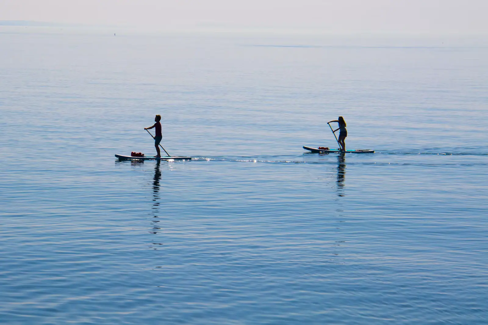
  • Two paddleboarders on a wide sheet of flat, pale, mirror-calm water under a soft sky
    Water feature

    Santa Rosa Sound

    Free

    Thirty-odd miles of waist-deep water between the mainland and the island, with a shipping channel dredged straight down the centre of it.

    1–5 hoursFree. Public access points on both shores cost nothing; equipment hire and boat fuel are separate.14.4 mi away

    Photograph: Unsplash

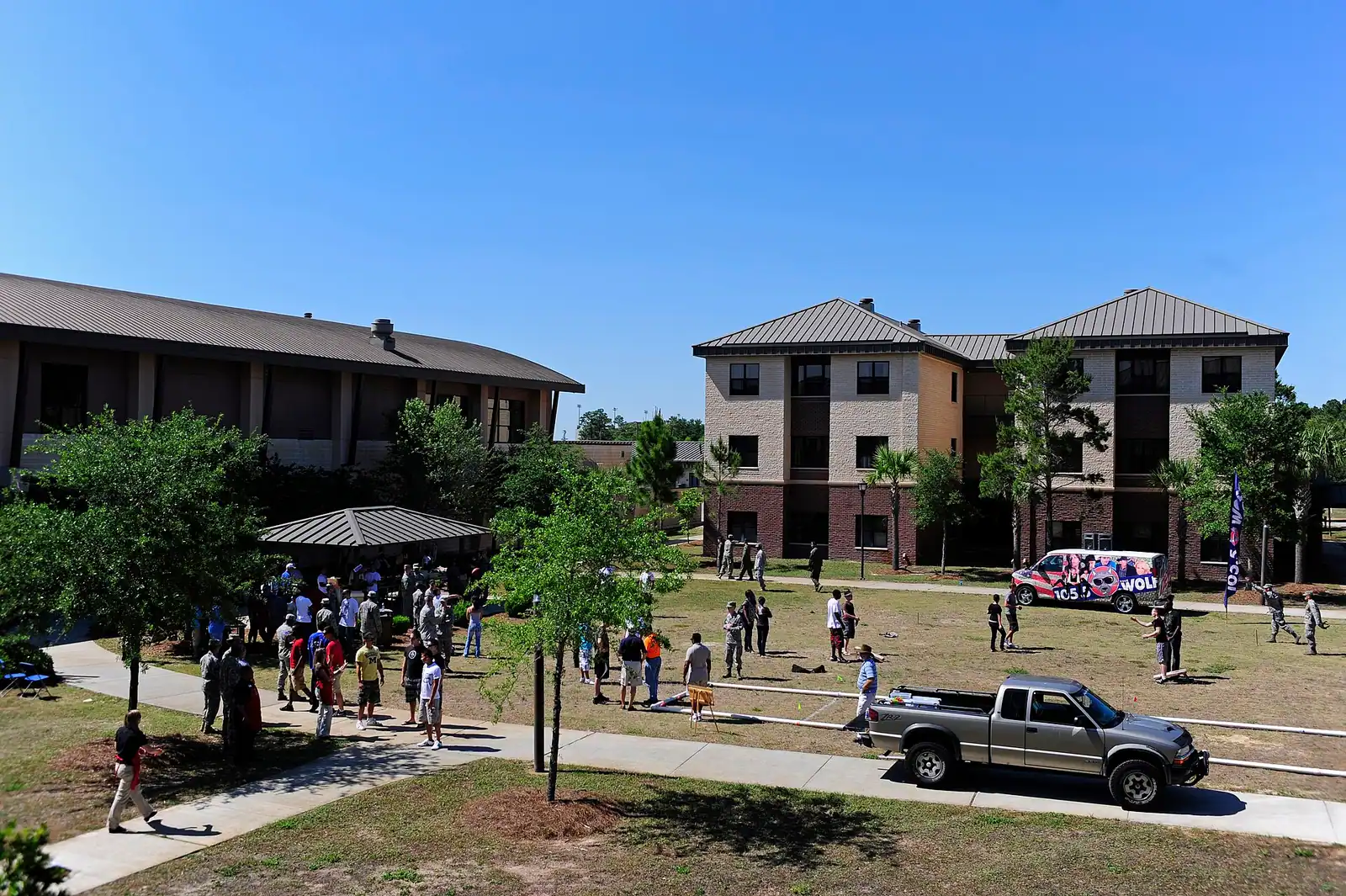
  • A row of retired military aircraft parked on grass and hard standing at an outdoor display
    Landmark

    Hurlburt Field

    Free

    Air Force Special Operations Command's home field, with an air park of gunships and memorials shut to the public for twenty years.

    1–2 hoursFree. There is no admission charge for the Memorial Air Park and parking at the main entrance is free.10.9 mi away

    Photograph: Staff Sgt. Julianne M. Showalter

  • Sea oats growing on a low dune above a wide pale beach under a broad sky
    Neighbourhood

    Okaloosa Island

    Free

    The county-owned beach strip across the sound from town: three miles of Gulf front, free parking, and no city government at all.

    3–10 hoursFree, with free parking at the county beach accesses and the Boardwalk.15.7 mi away

    Photograph: SrA Carlin Leslie

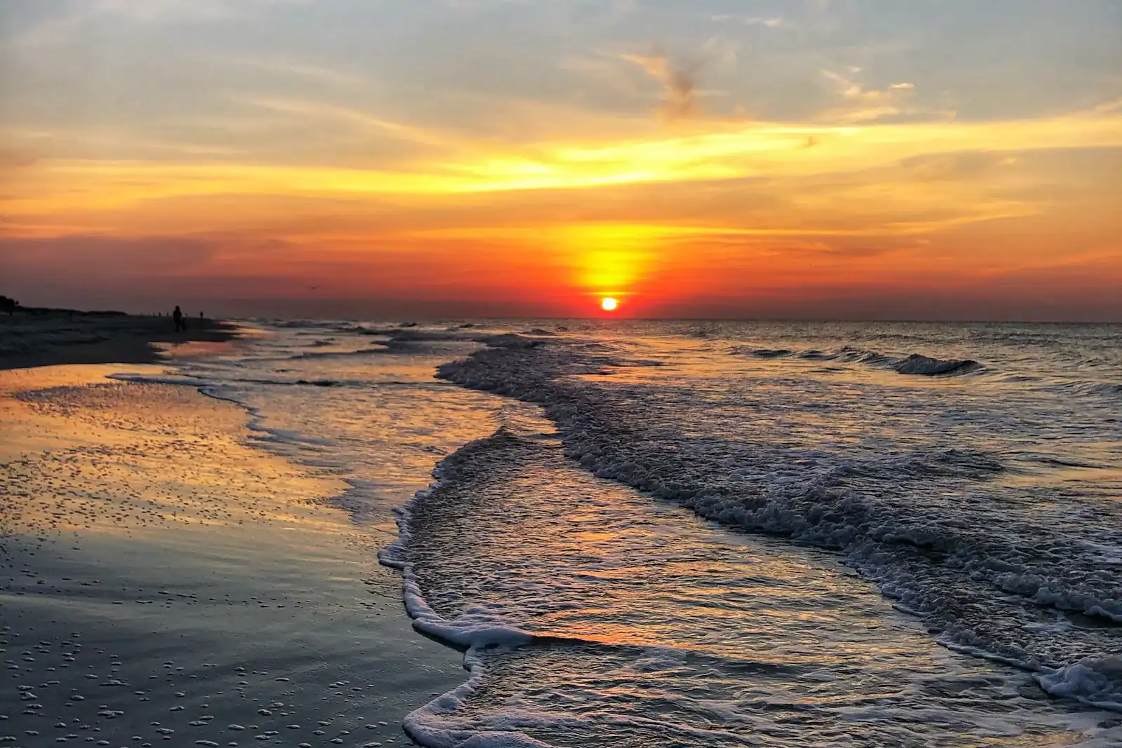
  • Low waves breaking along a wide, flat stretch of beach in late evening light
    Beach

    John C. Beasley Park

    Free

    The county's fullest free beach access — pavilions, showers, seasonal lifeguards — and the beach Black residents were once confined to.

    2–6 hoursFree, including around 200 free parking spaces.16.6 mi away

    Photograph: Unsplash

Navarre Beach: common questions

How long is the Navarre Beach pier?

1,545 feet, standing around thirty feet above the water, which makes it the longest fishing pier in Florida and by the usual accounting the longest in the Gulf of Mexico. A daily walk-on pass has been priced at about a dollar and a daily fishing pass in single figures, with reduced rates for seniors, active-duty military and youth, plus weekly and annual options. Fees are set by Santa Rosa County and change, so check before you go.

How far is Navarre Beach from Fort Walton Beach?

About twenty-five to thirty minutes west on US 98, past Hurlburt Field to the town of Navarre, then south across the causeway onto Santa Rosa Island. From Okaloosa Island add the Brooks Bridge crossing and allow closer to forty minutes in season. It is a genuinely easy half-day trip and the drive west is far quicker than the equivalent distance east through Destin.

Can you snorkel from the beach at Navarre?

Yes, which is unusual on this coast. The Navarre Beach Marine Sanctuary has placed artificial reef modules within swimming distance of the shore specifically so that people without a boat can reach structure, and those modules hold fish you would otherwise need an offshore charter to see. Go on a calm day with good visibility, swim with a buddy and a dive flag because of boat traffic, and wear fins: the swim is longer than it looks.

Why is Navarre Beach so undeveloped?

Because it is boxed in by federal land. The Santa Rosa Area of Gulf Islands National Seashore runs west towards Pensacola Beach and cannot be built on, and Eglin's Santa Rosa Island range continues to the east and is closed to the public. The developed section is a finite four-mile pocket between the two, so it cannot expand regardless of demand. Walk ten minutes past the last building and the beach empties almost completely.

Are the beach rules at Navarre the same as Fort Walton Beach?

No, and the difference matters. Navarre Beach is in Santa Rosa County while Fort Walton Beach, Okaloosa Island and Destin are in Okaloosa County, so the ordinances behind the flags are different documents with different enforcement. The colours mean the same thing and the physics is identical, because it is the same island and the same rip current system. Treat a double red flag as the instruction whichever county you are standing in.